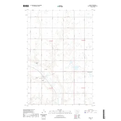
2020 Map of Dickey
USGS Topo · Published 2020About this map
The James River winds through the southeastern corner of this LaMoure County landscape, carving a valley that defines the local topography. This survey captures the small agricultural hub of Dickey, situated along a grid of section roads including Co Rd 35 and Co Rd 63. Local history is anchored by the Assumption Catholic Cem and Dickey Cem, which serve as vital points for genealogical research in this rural township.
Find a feature on this map
36 named features on this map. Tap any name to fly to it.
Don’t see what you’re looking for? This feature index may not catch every label — zoom into the map to look around manually.
Map Details
Editions of this 2020 Dickey Map
This is the sole edition of this map. No revisions or reprints were ever made.
Other maps of this area

1894 · La Moure
USGS Topo · 1:62,500

1895 · Lamoure
USGS Topo · 1:125,000

1896 · Jamestown
USGS Topo · 1:125,000

1896 · Edgeley
USGS Topo · 1:125,000

1897 · Eckelson
USGS Topo · 1:125,000

1918 · La Moure
USGS Topo · 1:125,000

1925 · Edgeley
USGS Topo · 1:125,000

1952 · Dickey
USGS Topo · 1:24,000

1952 · Grand Rapids
USGS Topo · 1:24,000

1953 · Jamestown
USGS Topo · 1:250,000