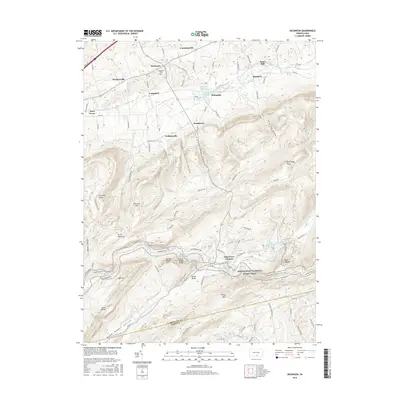
2016 Map of Dickinson
USGS Topo · Published 2016About this map
Pine Grove Furnace anchors the southern portion of this region, where the steep slopes of South Mountain meet the valley floor. This 2016 survey captures the complex topography of the Cumberland and Adams County line, a landscape defined by sharp ridges and deep hollows such as Dead Woman Hollow and Kellars Gap Hollow. The northern half of the map transition into a more settled agricultural pattern, characterized by small hamlets like Longsdorf, Brushtown, and Cumminsville.
Find a feature on this map
96 named features on this map. Tap any name to fly to it.
Don’t see what you’re looking for? This feature index may not catch every label — zoom into the map to look around manually.
Map Details
Editions of this 2016 Dickinson Map
This is the sole edition of this map. No revisions or reprints were ever made.
Other maps of this area

1904 · Carlisle
USGS Topo · 1:62,500

1908 · Gettysburg
USGS Topo · 1:62,500

1909 · Fairfield
USGS Topo · 1:62,500

1919 · Newville
USGS Topo · 1:62,500

1942 · Gettysburg
USGS Topo · 1:125,000

1943 · Carlisle
USGS Topo · 1:62,500

1944 · Flat Ridge
USGS Topo · 1:31,680

1944 · Arendtsville
USGS Topo · 1:31,680
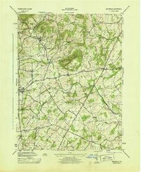
1944 · Biglerville
USGS Topo · 1:31,680

1945 · Newville
USGS Topo · 1:62,500
Featured Places
- Dickinson, Penn Township
- Southampton Township, PA
- Tyrone Township, PA
- Cooke Township, PA
- South Newton Township, PA