Loading...
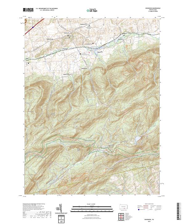
Loading map...2023 Map of Dickinson
USGS Topo · Published 2023About this map
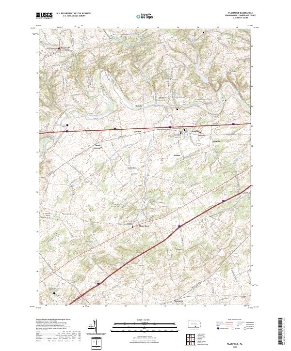
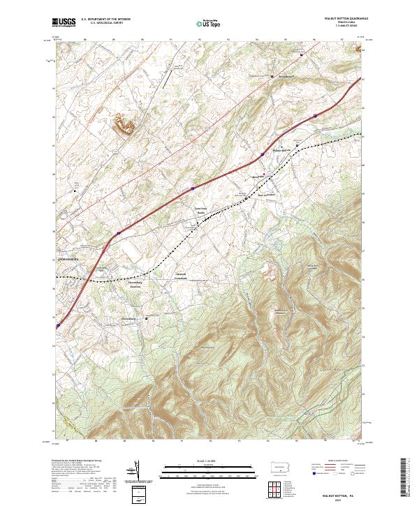
Yellow Breeches Creek winds through the northern valley of this Cumberland County landscape, anchoring a series of small agricultural and industrial settlements including Dickinson, Huntsdale, and Moors Mill. The terrain is sharply defined by the transition from the fertile lowlands of the Great Valley into the wooded elevations of South Mountain, where Michaux State Forest and Kings Gap State Park preserve large tracts of timberland.
Find a feature on this map
101 named features on this map. Tap any name to fly to it.
Don’t see what you’re looking for? This feature index may not catch every label — zoom into the map to look around manually.
Map Details
Date Portrayed2023
Date Published2023
PublisherU.S. Geological Survey
Map TypeTopographic
Scale1:24000
Physical Dimensions24 x 29 inches
Editions of this 2023 Dickinson Map
This is the sole edition of this map. No revisions or reprints were ever made.
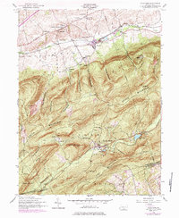
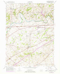
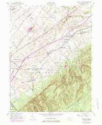
Historical Maps of Huntsdale Through Time
8 maps found
Featured Locations
- Cooke Township, PA
- Dickinson Township, PA
- Southampton Township, PA
- Tyrone Township, PA
- Dickinson, Penn Township
Source Details
SourceU.S. Geological Survey
CopyrightPublic Domain