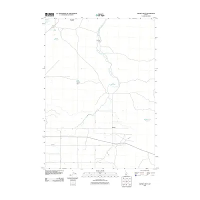
2010 Map of Dietrich Butte
USGS Topo · Published 2010About this map
The Dietrich Main Canal defines the hydraulic landscape of this Lincoln County region, where engineered water management supports agriculture in an arid volcanic setting. The small settlement of Besslen sits at the intersection of a grid-like road system, including E 170 S and S 1150 E, reflecting the organized land division of southern Idaho. The terrain is punctuated by distinctive volcanic features like Dietrich Butte and the curiously named BroBrown ButButte, which rise above the surrounding flats.
Find a feature on this map
25 named features on this map. Tap any name to fly to it.
Don’t see what you’re looking for? This feature index may not catch every label — zoom into the map to look around manually.
Map Details
Editions of this 2010 Dietrich Butte Map
This is the sole edition of this map. No revisions or reprints were ever made.
Other maps of this area

1955 · Twin Falls
USGS Topo · 1:250,000

1955 · Hailey
USGS Topo · 1:250,000

1958 · Twin Falls
USGS Topo · 1:250,000

1959 · Hailey
USGS Topo · 1:250,000

1962 · Hailey
USGS Topo · 1:250,000

1971 · Shoshone SE
USGS Topo · 1:24,000

1971 · Star Lake
USGS Topo · 1:24,000

1971 · Owinza
USGS Topo · 1:24,000

1971 · Dietrich
USGS Topo · 1:24,000

1971 · Dietrich Butte
USGS Topo · 1:24,000