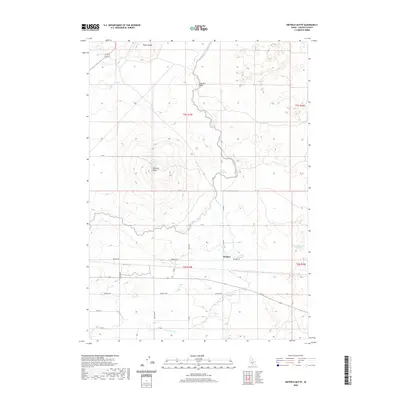
2020 Map of Dietrich Butte
USGS Topo · Published 2020About this map
Dietrich Butte and Brown Butte rise above the high desert floor in this Lincoln County landscape, highlighting a terrain shaped by volcanic history and modern irrigation. The small settlement of Besslen serves as a focal point along Besslen Rd, situated within a network of managed water systems essential for regional agriculture. This infrastructure is clearly visible through the Dietrich Main Canal and various laterals, including Lateral 702 and Lateral 614, which distribute water from sources like Crater Reservoir and West Monument Reservoir. Local landmarks such as Lone Rock Bridge and Hunt Waterhole provide specific reference points for those studying the area's geography and development. The transport network is anchored by the Kimama Hwy and a grid of rural routes like Star Lake Rd, reflecting the intersection of natural landmarks and human-engineered water management in this part of Idaho.
Find a feature on this map
31 named features on this map. Tap any name to fly to it.
Don’t see what you’re looking for? This feature index may not catch every label — zoom into the map to look around manually.
Map Details
Editions of this 2020 Dietrich Butte Map
This is the sole edition of this map. No revisions or reprints were ever made.
Other maps of this area

1955 · Twin Falls
USGS Topo · 1:250,000

1955 · Hailey
USGS Topo · 1:250,000

1958 · Twin Falls
USGS Topo · 1:250,000

1959 · Hailey
USGS Topo · 1:250,000

1962 · Hailey
USGS Topo · 1:250,000

1971 · Shoshone SE
USGS Topo · 1:24,000

1971 · Star Lake
USGS Topo · 1:24,000

1971 · Owinza
USGS Topo · 1:24,000

1971 · Dietrich
USGS Topo · 1:24,000

1971 · Dietrich Butte
USGS Topo · 1:24,000