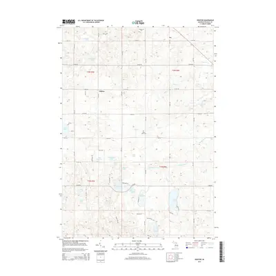
2014 Map of Dighton
USGS Topo · Published 2014About this map
Glacial lakes and small rural settlements define this portion of Osceola County in the early twenty-first century. The village of Dighton sits central to a landscape marked by a high density of named water bodies, including Hicks Lake, Rose Lake, and Fewlass Lake. The winding course of the Middle Br River cuts through the southern half of the quadrangle, while the northern reaches are dotted with quiet intersections like Ina. Local heritage is anchored by sites such as Highland Cem and Maple Valley Cem, which remain as fixed points of interest for genealogists.
Find a feature on this map
41 named features on this map. Tap any name to fly to it.
Don’t see what you’re looking for? This feature index may not catch every label — zoom into the map to look around manually.
Map Details
Editions of this 2014 Dighton Map
This is the sole edition of this map. No revisions or reprints were ever made.
Other maps of this area

1954 · Traverse City
USGS Topo · 1:250,000

1954 · Midland
USGS Topo · 1:250,000

1957 · Cadillac South
USGS Topo · 1:62,500

1957 · Marion
USGS Topo · 1:62,500

1958 · Traverse City
USGS Topo · 1:250,000

1958 · Midland
USGS Topo · 1:250,000

1959 · Midland
USGS Topo · 1:250,000

1959 · Lake
USGS Topo · 1:62,500

1959 · Evart
USGS Topo · 1:62,500

1966 · Midland
USGS Topo · 1:250,000