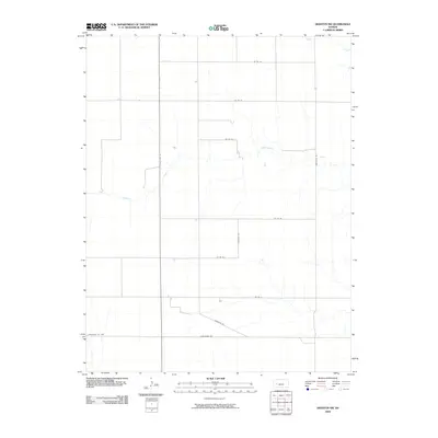
2009 Map of Dighton SW
USGS Topo · Published 2009About this map
Hackberry Creek and Spring Creek meander across this portion of the High Plains, carving subtle drainage patterns into the agricultural grid of northern Finney County. The landscape is defined by the intersection of section-line roads and the prominent north-south corridor of State Hwy 23, which serves as the primary artery through this sparsely settled prairie region. The Lane-Finney Co Line marks the northern boundary of the map, where the surveyed grid continues into neighboring Lane County. Unlike more densely populated regions, the map reveals a land organized almost entirely for large-scale ranching and farming, with distinctive local thoroughfares like Mustang Rd and Longhorn Rd connecting the isolated farmsteads and rangelands of Western Kansas.
Find a feature on this map
14 named features on this map. Tap any name to fly to it.
Don’t see what you’re looking for? This feature index may not catch every label — zoom into the map to look around manually.
Map Details
Editions of this 2009 Dighton SW Map
This is the sole edition of this map. No revisions or reprints were ever made.
Other maps of this area

1955 · Scott City
USGS Topo · 1:250,000

1958 · Scott City
USGS Topo · 1:250,000

1974 · Ravanna
USGS Topo · 1:24,000

1974 · Dighton SW
USGS Topo · 1:24,000

1974 · Amy SE
USGS Topo · 1:24,000

1974 · Dighton
USGS Topo · 1:24,000

1974 · Scott City 4 NE
USGS Topo · 1:24,000

1974 · Alamota
USGS Topo · 1:24,000

1974 · Hay Canyon
USGS Topo · 1:24,000

1974 · Dighton SE
USGS Topo · 1:24,000