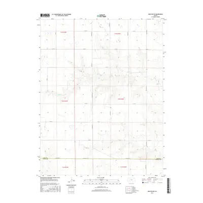
2015 Map of Dighton SW
USGS Topo · Published 2015About this map
The High Plains landscape of Western Kansas is defined here by the drainage systems of Spring Cr and Hackberry Cr, which carve subtle relief into the agricultural tablelands. Situated along the boundary where Finney County meets Lane County, the area is partitioned by a precise grid of rural thoroughfares such as Kaw Rd and Mustang Rd. These routes serve a vast system of sectioned land, reflecting the enduring legacy of the Public Land Survey System as seen in township markers for T19S R29W and T20S R28W.
Find a feature on this map
23 named features on this map. Tap any name to fly to it.
Don’t see what you’re looking for? This feature index may not catch every label — zoom into the map to look around manually.
Map Details
Editions of this 2015 Dighton SW Map
This is the sole edition of this map. No revisions or reprints were ever made.
Other maps of this area

1955 · Scott City
USGS Topo · 1:250,000

1958 · Scott City
USGS Topo · 1:250,000

1974 · Ravanna
USGS Topo · 1:24,000

1974 · Dighton SW
USGS Topo · 1:24,000

1974 · Amy SE
USGS Topo · 1:24,000

1974 · Dighton
USGS Topo · 1:24,000

1974 · Scott City 4 NE
USGS Topo · 1:24,000

1974 · Alamota
USGS Topo · 1:24,000

1974 · Hay Canyon
USGS Topo · 1:24,000

1974 · Dighton SE
USGS Topo · 1:24,000