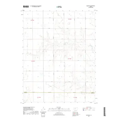
2018 Map of Dighton SW
USGS Topo · Published 2018About this map
The county line between Lane Co and Finney Co divides this rural Kansas landscape, where the High Plains terrain is etched by the drainage of Hackberry Cr. Surveyed in the late 2010s, the map reveals a highly structured grid of section lines and gravel roads that define the region's agricultural layout. Notable thoroughfares like Kaw Rd and Longhorn Rd segment the territory into precise square-mile sections, typical of the Homestead Act legacy. In the northeastern corner, Spring Cr cuts through the elevation, while the southern reaches are marked by the junction of Lane-Finney Rd and E Finney Scott Rd. This survey documents a sparsely populated but heavily managed landscape where land use is dictated by the subtle topography of the creek beds and the rigid North American Datum of 1984 alignment.
Find a feature on this map
23 named features on this map. Tap any name to fly to it.
Don’t see what you’re looking for? This feature index may not catch every label — zoom into the map to look around manually.
Map Details
Editions of this 2018 Dighton SW Map
This is the sole edition of this map. No revisions or reprints were ever made.
Other maps of this area

1955 · Scott City
USGS Topo · 1:250,000

1958 · Scott City
USGS Topo · 1:250,000

1974 · Ravanna
USGS Topo · 1:24,000

1974 · Dighton SW
USGS Topo · 1:24,000

1974 · Amy SE
USGS Topo · 1:24,000

1974 · Dighton
USGS Topo · 1:24,000

1974 · Scott City 4 NE
USGS Topo · 1:24,000

1974 · Alamota
USGS Topo · 1:24,000

1974 · Hay Canyon
USGS Topo · 1:24,000

1974 · Dighton SE
USGS Topo · 1:24,000