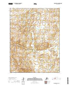
2019 Map of Dillingham A-3 SW
USGS Topo · Published 2019About this map
Bear Cr flows through a landscape defined by an intricate network of wetlands and small water bodies in this 2019 survey of the Lake and Peninsula Borough. The terrain is characterized by the Public Land Survey System grid, specifically covering portions of t12s r47w, t12s r46w, t13s r47w, and t13s r46w. The mapping reveals a complex hydrological pattern where subtle elevation changes dictate the path of small streams and the concentration of standing water. This modern topographic study provides an essential baseline for understanding the drainage and land divisions in a region where the natural environment remains the primary feature, offering clarity for those researching land ownership and natural resource management in this corner of Alaska.
Find a feature on this map
5 named features on this map. Tap any name to fly to it.
Don’t see what you’re looking for? This feature index may not catch every label — zoom into the map to look around manually.
Map Details
Editions of this 2019 Dillingham A-3 SW Map
This is the sole edition of this map. No revisions or reprints were ever made.
Other maps of this area

1951 · Dillingham
USGS Topo · 1:250,000

1952 · Naknek
USGS Topo · 1:250,000

1952 · Dillingham A-4
USGS Topo · 1:63,360

1952 · Dillingham A-3
USGS Topo · 1:63,360

1952 · Naknek D-3
USGS Topo · 1:63,360

1952 · Naknek D-4
USGS Topo · 1:63,360

1954 · Dillingham
USGS Topo · 1:250,000

1964 · Naknek
USGS Topo · 1:250,000
2019 · Naknek D-3 NW
USGS Topo · 1:25,000
2019 · Dillingham A-3 SE
USGS Topo · 1:25,000