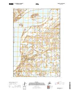
2019 Map of Naknek D-3 NW
USGS Topo · Published 2019About this map
Kvichak River dominates this portion of the Bristol Bay region, defining the transition between the Lake and Peninsula Borough and Bristol Bay Borough. The settlement of Kvichak sits along these waters, where the river's path is marked by shifting braids and landmarks like Cape Horn and Stoger Slough. This landscape is characterized by extensive wetlands and low-lying coastal terrain, including the broad expanse of Sea Gull Flat. South of the main river, the drainage of Coffee Creek and the Coffee Creek Channel illustrate the complex hydrology of this subarctic environment. The survey provides a clear view of the township and range lines across this remote territory, showing the relationship between these administrative boundaries and the natural watercourses that have long dictated movement and settlement in this part of Alaska.
Find a feature on this map
14 named features on this map. Tap any name to fly to it.
Don’t see what you’re looking for? This feature index may not catch every label — zoom into the map to look around manually.
Map Details
Editions of this 2019 Naknek D-3 NW Map
This is the sole edition of this map. No revisions or reprints were ever made.
Other maps of this area

1951 · Dillingham
USGS Topo · 1:250,000

1952 · Naknek
USGS Topo · 1:250,000

1952 · Dillingham A-3
USGS Topo · 1:63,360

1952 · Naknek D-3
USGS Topo · 1:63,360

1952 · Naknek D-4
USGS Topo · 1:63,360

1954 · Dillingham
USGS Topo · 1:250,000

1964 · Naknek
USGS Topo · 1:250,000
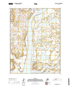
2019 · Dillingham A-3 SE
USGS Topo · 1:25,000
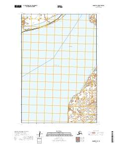
2019 · Naknek D-4 SE
USGS Topo · 1:25,000
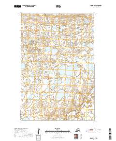
2019 · Naknek D-3 SE
USGS Topo · 1:25,000