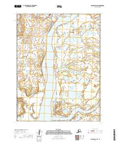
2019 Map of Dillingham A-3 SE
USGS Topo · Published 2019About this map
The Kvichak River system dominates this region of the Alaska Peninsula, where the settlement of Levelock serves as a vital hub for river-based transportation and local life. Situated near the mouth of Levelock Cr, the village is organized around a core street network including Main Street and Salmon Street, which leads toward the Levelock Airport. The landscape is a complex maze of wetland drainage, where the massive Kvichak main channel is fed by tributaries like Union Creek and Hallersville Creek.
Find a feature on this map
21 named features on this map. Tap any name to fly to it.
Don’t see what you’re looking for? This feature index may not catch every label — zoom into the map to look around manually.
Map Details
Editions of this 2019 Dillingham A-3 SE Map
This is the sole edition of this map. No revisions or reprints were ever made.
Other maps of this area

1951 · Dillingham
USGS Topo · 1:250,000

1952 · Naknek
USGS Topo · 1:250,000

1952 · Dillingham A-2
USGS Topo · 1:63,360

1952 · Dillingham A-3
USGS Topo · 1:63,360

1952 · Naknek D-3
USGS Topo · 1:63,360

1954 · Dillingham
USGS Topo · 1:250,000

1964 · Naknek
USGS Topo · 1:250,000
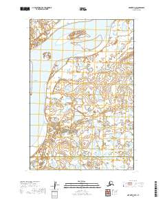
2019 · Naknek D-3 NW
USGS Topo · 1:25,000
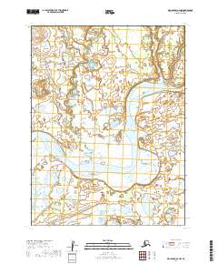
2019 · Dillingham A-2 NW
USGS Topo · 1:25,000
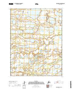
2019 · Dillingham A-2 SW
USGS Topo · 1:25,000