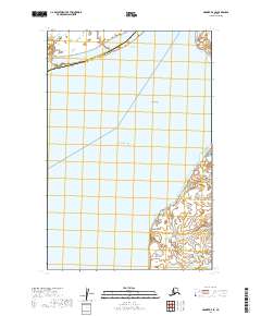
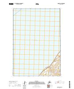
2019 Map of Naknek D-4 SE
USGS Topo · Published 2019About this map
Koggiung and Libbyville anchor the eastern shoreline of Kvichak Bay in this 2019 survey of the Bristol Bay region. The landscape is defined by the shifting aquatic geography of the Albert Channel and the expansive Salmon Flats, illustrating the intricate tidal environment where Ship Creek meets the coast. Significant coastal landmarks such as Graveyard Point and Pederson Point mark the transition between the marshy borough boundaries and the open water. The map documents the overlap of the Lake and Peninsula Borough and Bristol Bay Borough, providing a precise look at the land-water interface in a region where settlement and topography are inextricably linked to the salmon-rich waters of the bay.
Find a feature on this map
13 named features on this map. Tap any name to fly to it.
Don’t see what you’re looking for? This feature index may not catch every label — zoom into the map to look around manually.
Map Details
Editions of this 2019 Naknek D-4 SE Map
This is the sole edition of this map. No revisions or reprints were ever made.
Other maps of this area

1952 · Naknek
USGS Topo · 1:250,000

1952 · Naknek C-3
USGS Topo · 1:63,360

1952 · Naknek D-3
USGS Topo · 1:63,360

1952 · Naknek D-4
USGS Topo · 1:63,360

1952 · Naknek C-4
USGS Topo · 1:63,360

1964 · Naknek
USGS Topo · 1:250,000
2019 · Naknek D-3 NW
USGS Topo · 1:25,000
2019 · Naknek C-3 NW
USGS Topo · 1:25,000
2019 · Naknek D-4 NE
USGS Topo · 1:25,000
2019 · Naknek C-4 NW
USGS Topo · 1:25,000