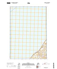
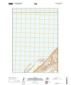
2019 Map of Naknek C-4 NW
USGS Topo · Published 2019About this map
Kvichak Bay dominates this coastal survey, where the waters of the Bristol Bay region meet the shifting tidal flats of southwest Alaska. The landscape is defined by its vast aquatic reaches and the intricate section lines of the Public Land Survey System, including t17s r48w and t18s r48w. In this corner of the Alaska Peninsula, the interface between the bay and the low-lying shoreline reveals the complex hydrology of a region where land and water frequently merge, providing a detailed look at the township and range boundaries that organize this remote territory.
Find a feature on this map
6 named features on this map. Tap any name to fly to it.
Don’t see what you’re looking for? This feature index may not catch every label — zoom into the map to look around manually.
Map Details
Editions of this 2019 Naknek C-4 NW Map
This is the sole edition of this map. No revisions or reprints were ever made.
Other maps of this area

1952 · Naknek
USGS Topo · 1:250,000

1952 · Naknek C-5
USGS Topo · 1:63,360

1952 · Naknek D-5
USGS Topo · 1:63,360

1952 · Naknek D-4
USGS Topo · 1:63,360

1952 · Naknek C-4
USGS Topo · 1:63,360

1964 · Naknek
USGS Topo · 1:250,000
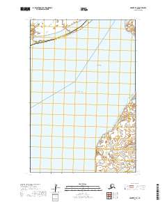
2019 · Naknek D-4 SE
USGS Topo · 1:25,000
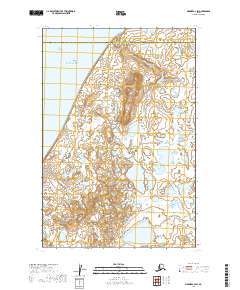
2019 · Naknek C-4 SW
USGS Topo · 1:25,000
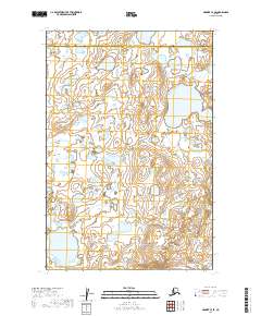
2019 · Naknek C-4 SE
USGS Topo · 1:25,000
2019 · Naknek C-5 SE
USGS Topo · 1:25,000