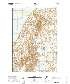
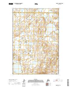
2019 Map of Naknek C-4 SW
USGS Topo · Published 2019About this map
The western edge of the Alaska Peninsula is defined here by the expansive reach of Kvichak Bay, where the tidal mudflats of Big Flat meet the coastal lowlands. This landscape is a complex network of wetlands and tundra ponds, characteristic of the Bristol Bay region's drainage patterns. The most prominent topographic relief is found at Johnson Hill, an upland rise that stands in contrast to the surrounding water-logged terrain.
Find a feature on this map
10 named features on this map. Tap any name to fly to it.
Don’t see what you’re looking for? This feature index may not catch every label — zoom into the map to look around manually.
Map Details
Editions of this 2019 Naknek C-4 SW Map
This is the sole edition of this map. No revisions or reprints were ever made.
Other maps of this area

1952 · Naknek
USGS Topo · 1:250,000

1952 · Naknek C-5
USGS Topo · 1:63,360

1952 · Naknek B-4
USGS Topo · 1:63,360

1952 · Naknek B-5
USGS Topo · 1:63,360

1952 · Naknek C-4
USGS Topo · 1:63,360

1964 · Naknek
USGS Topo · 1:250,000
2019 · Naknek B-4 NW
USGS Topo · 1:25,000
2019 · Naknek B-5 NE
USGS Topo · 1:25,000
2019 · Naknek B-4 NE
USGS Topo · 1:25,000
2019 · Naknek C-4 SE
USGS Topo · 1:25,000