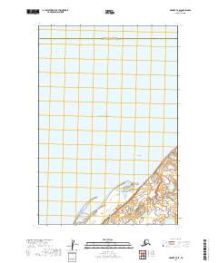
2019 Map of Naknek C-5 SE
USGS Topo · Published 2019About this map
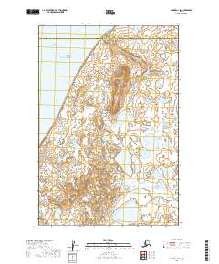
Kvichak Bay dominates the northern expanse of this 2019 survey, where the waters of the Bristol Bay region meet the shorelines of southwest Alaska. The landscape is characterized by the expansive intertidal zone of Big Flat, a notable coastal feature in the lower portion of the sheet. This area serves as a significant administrative boundary, capturing the line where the Bristol Bay Borough meets the Lake and Peninsula Borough. The map primarily documents the natural topography and hydrography of the region at the close of the 2010s, illustrating the complex drainage patterns and marshy lowlands typical of the Kvichak River estuary. Without major settlements or roads, the focus remains on the coastal transition and the public land survey grid, including t18s r49w and t19s r49w, which provide essential spatial reference for this remote maritime environment.
Find a feature on this map
7 named features on this map. Tap any name to fly to it.
Don’t see what you’re looking for? This feature index may not catch every label — zoom into the map to look around manually.
Map Details
Editions of this 2019 Naknek C-5 SE Map
This is the sole edition of this map. No revisions or reprints were ever made.
Other maps of this area

1952 · Naknek
USGS Topo · 1:250,000

1952 · Naknek C-5
USGS Topo · 1:63,360

1952 · Naknek B-4
USGS Topo · 1:63,360

1952 · Naknek B-5
USGS Topo · 1:63,360

1952 · Naknek C-4
USGS Topo · 1:63,360

1964 · Naknek
USGS Topo · 1:250,000
2019 · Naknek B-4 NW
USGS Topo · 1:25,000
2019 · Naknek B-5 NE
USGS Topo · 1:25,000
2019 · Naknek B-5 NW
USGS Topo · 1:25,000
2019 · Naknek C-4 SW
USGS Topo · 1:25,000