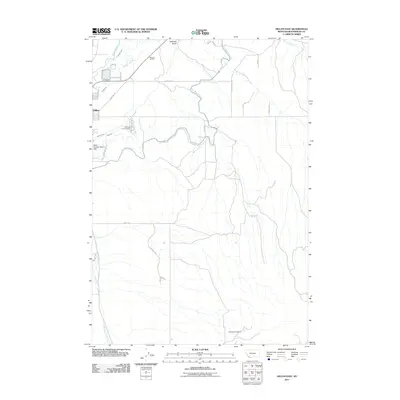
2011 Map of Dillon East
USGS Topo · Published 2011About this map
Beaverhead River and its intricate network of irrigation works anchor the landscape east of Dillon. This 2011 survey illustrates a region defined by water management, where the East Bench Canal, Dillon Canal, and various waterworks like Owen Ditch and Tulley Ditch redistribute flows across the valley floor. The map documents the eastern edges of the town, including the Mountain View Cemetery and the Dillon Sewage Lagoon Dam, while the terrain rises toward Hoffman Gulch to the north.
Find a feature on this map
35 named features on this map. Tap any name to fly to it.
Don’t see what you’re looking for? This feature index may not catch every label — zoom into the map to look around manually.
Map Details
Editions of this 2011 Dillon East Map
This is the sole edition of this map. No revisions or reprints were ever made.
Other maps of this area

1893 · Dillon
USGS Topo · 1:250,000

1952 · Gallagher Mountain
USGS Topo · 1:24,000

1955 · Dillon
USGS Topo · 1:250,000

1957 · Dillon
USGS Topo · 1:250,000

1958 · Dillon
USGS Topo · 1:250,000

1961 · Glen SE
USGS Topo · 1:24,000

1961 · Christensen Ranch
USGS Topo · 1:24,000

1961 · Ashbough Canyon
USGS Topo · 1:24,000

1961 · Elk Gulch
USGS Topo · 1:24,000

1962 · Dillon
USGS Topo · 1:250,000