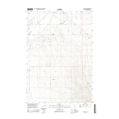
2014 Map of Dillon East
USGS Topo · Published 2014About this map
The Beaverhead River defines the northwest corner of this landscape, where the eastern edge of Dillon meets an extensive network of irrigation and water management features. This 2014 survey captures a highly engineered hydrology, featuring the Dillon Canal, Stodden Slough, and the East Bench Canal winding through the basin. Local history and genealogy interest is anchored by the Mtn View Cem overlooking the river valley, and the Dillon Airport located just north of the town center. The terrain transitions from the river bottom toward higher ground in the south and east, marked by Hoffman Gulch and the South Side Reservoir. A dense grid of rural roads, such as Sweetwater Rd and Blacktail Rd, provides a clear view of the modern land divisions and residential expansion into the foothills surrounding the city center.
Find a feature on this map
43 named features on this map. Tap any name to fly to it.
Don’t see what you’re looking for? This feature index may not catch every label — zoom into the map to look around manually.
Map Details
Editions of this 2014 Dillon East Map
This is the sole edition of this map. No revisions or reprints were ever made.
Other maps of this area

1893 · Dillon
USGS Topo · 1:250,000

1952 · Gallagher Mountain
USGS Topo · 1:24,000

1955 · Dillon
USGS Topo · 1:250,000

1957 · Dillon
USGS Topo · 1:250,000

1958 · Dillon
USGS Topo · 1:250,000

1961 · Glen SE
USGS Topo · 1:24,000

1961 · Christensen Ranch
USGS Topo · 1:24,000

1961 · Ashbough Canyon
USGS Topo · 1:24,000

1961 · Elk Gulch
USGS Topo · 1:24,000

1962 · Dillon
USGS Topo · 1:250,000