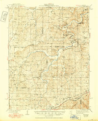
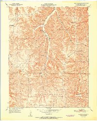
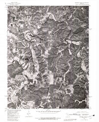
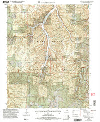
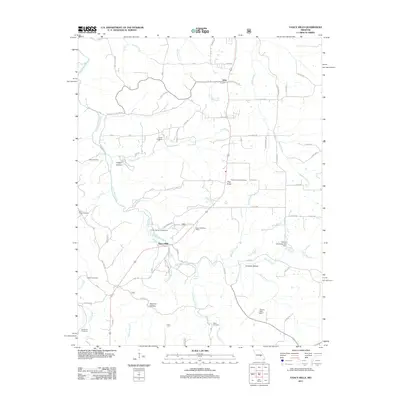
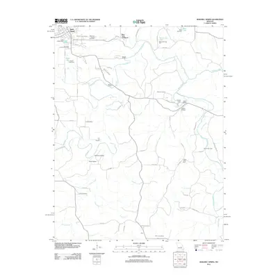
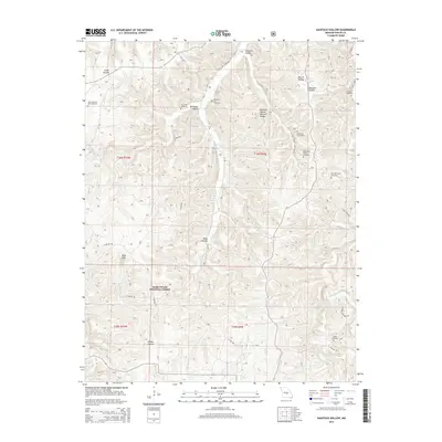
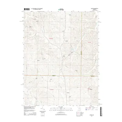
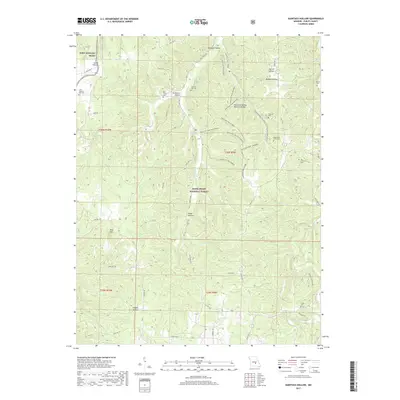
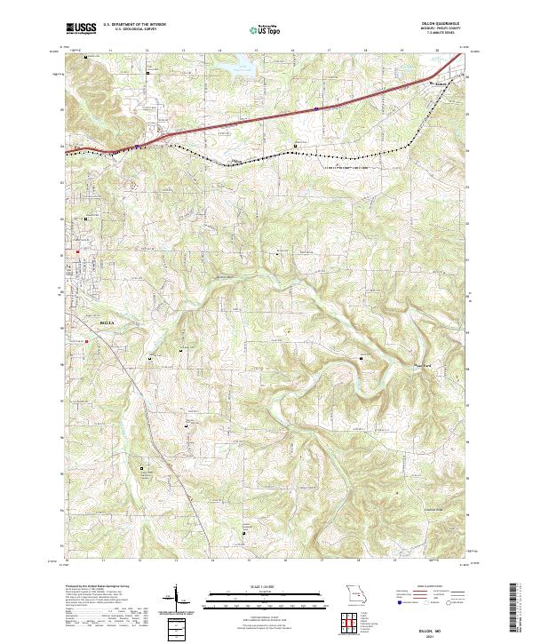
1963 Map of Dillon
USGS Topo · Published 1977About this map
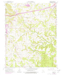
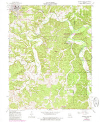
The St Louis San Francisco railroad corridor anchors this mid-century landscape in Phelps County, cutting a path through the rolling terrain between Rolla and St James. The map reveals a transition from the developing edges of Rolla, where institutions like the Jr High Sch and the Usgs Center are established, to the rural townships of Dillon and Cold Spring. A network of watercourses, including Dry Fork and Little Dry Fork, carves through the southern half of the quadrangle, with Schuman Ridge rising to the southeast. Genealogists will find a wealth of family history markers, from the Smith-Laney Cem and Hawkins Cem to the isolated Wichon Cem and Brown Cem. Small rural congregations at Bellview Ch and Peace Ch further define the social geography of the era, while specialized features like the Morgan Landing Strip and various clay pits speak to local transport and industrial activity.
Find a feature on this map
46 named features on this map. Tap any name to fly to it.
Don’t see what you’re looking for? This feature index may not catch every label — zoom into the map to look around manually.
Map Details
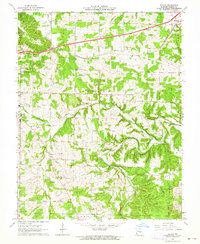
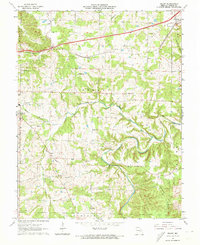
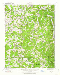
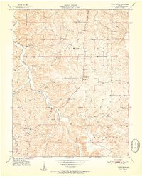
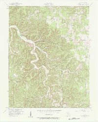
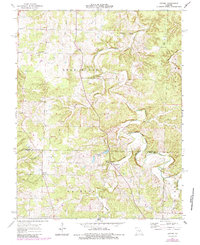
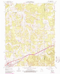
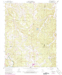
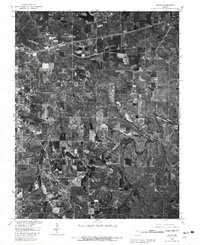
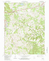
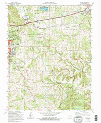
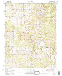
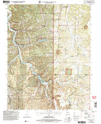
Editions of this 1963 Dillon Map
3 editions found
Historical Maps of Rolla Through Time
53 maps found
1928 Meramec Spring
Phelps County, MO

1934 Redbird
Phelps County, MO
1938 Redbird
Phelps County, MO
1949 Meramec Spring
Phelps County, MO
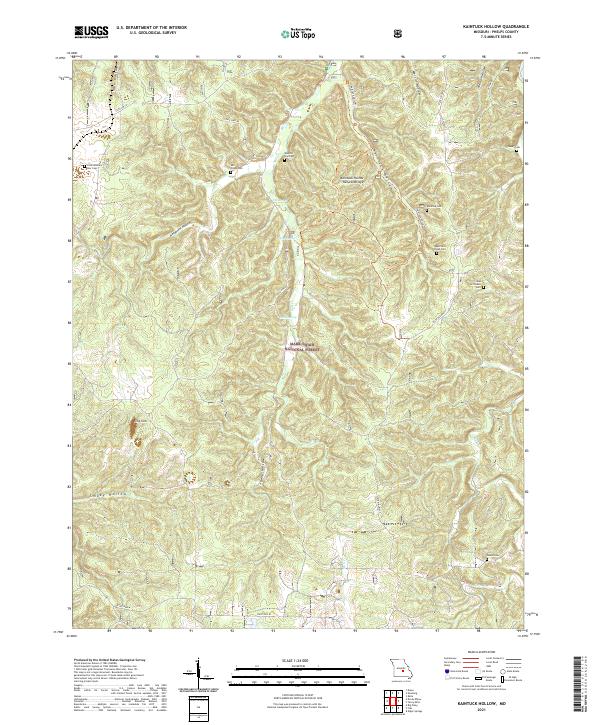
1950 Kaintuck Hollow
Phelps County, MO
1950 Yancy Mills
Phelps County, MO
1951 Kaintuck Hollow
Phelps County, MO
1951 Yancy Mills
Phelps County, MO
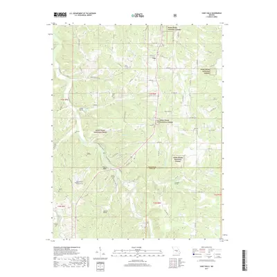
1954 Flat
Phelps County, MO
1963 Dillon
Phelps County, MO
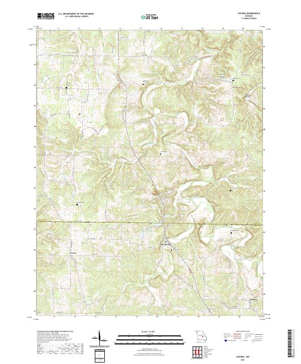
1963 Lecoma
Phelps County, MO
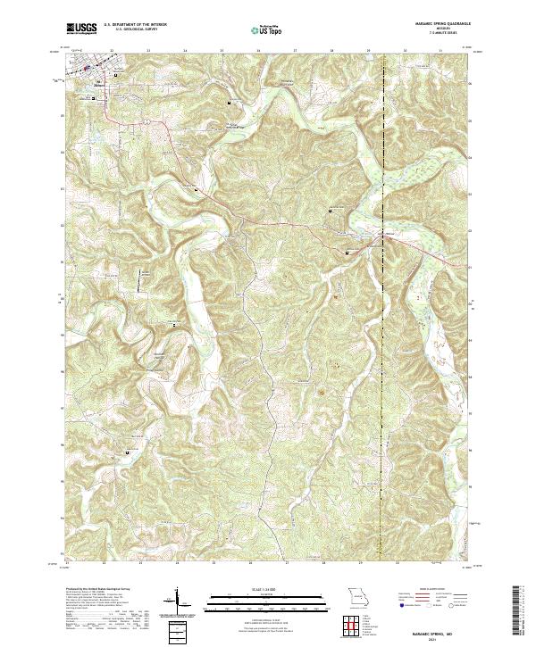
1963 Maramec Spring
Phelps County, MO
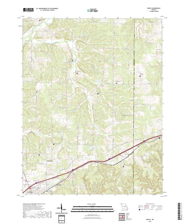
1963 Rosati
Phelps County, MO
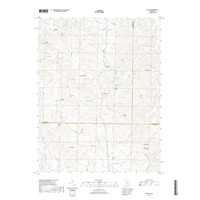
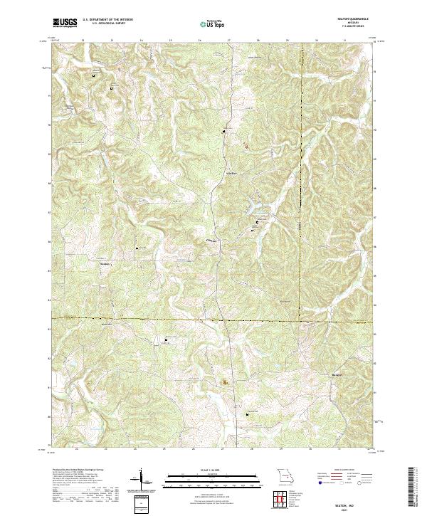
1963 Seaton
Phelps County, MO
1980 Dillon
Phelps County, MO
1980 Maramec Spring
Phelps County, MO
1985 Dillon
Phelps County, MO
1992 Dillon
Phelps County, MO
1992 Lecoma
Phelps County, MO
2004 Kaintuck Hollow
Phelps County, MO
2004 Yancy Mills
Phelps County, MO
2011 Kaintuck Hollow
Phelps County, MO
2011 Seaton
Phelps County, MO
2011 Yancy Mills
Phelps County, MO
2012 Dillon
Phelps County, MO
2012 Flat
Phelps County, MO
2012 Lecoma
Phelps County, MO
2012 Maramec Spring
Phelps County, MO
2012 Rosati
Phelps County, MO
2015 Dillon
Phelps County, MO
2015 Flat
Phelps County, MO
2015 Kaintuck Hollow
Phelps County, MO
2015 Lecoma
Phelps County, MO
2015 Maramec Spring
Phelps County, MO
2015 Rosati
Phelps County, MO
2015 Seaton
Phelps County, MO
2015 Yancy Mills
Phelps County, MO
2017 Dillon
Phelps County, MO
2017 Flat
Phelps County, MO
2017 Kaintuck Hollow
Phelps County, MO
2017 Lecoma
Phelps County, MO
2017 Maramec Spring
Phelps County, MO
2017 Rosati
Phelps County, MO
2017 Seaton
Phelps County, MO
2017 Yancy Mills
Phelps County, MO
2021 Dillon
Phelps County, MO

2021 Flat
Phelps County, MO
2021 Kaintuck Hollow
Phelps County, MO
2021 Lecoma
Phelps County, MO
2021 Maramec Spring
Phelps County, MO
2021 Rosati
Phelps County, MO
2021 Seaton
Phelps County, MO
2021 Yancy Mills
Phelps County, MO