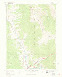
1970 Map of Dillon
USGS Topo · Published 1973About this map
The Blue River corridor in the early 1970s reflects a landscape defined by the arrival of the Dillon Reservoir, with the settlements of Silverthorne and Dillon positioned at this major hydrological junction. Steep terrain dominates the eastern portion of the sheet, where the Williams Fork Mountains and Arapaho National Forest are crossed by the Williams Fork Pack Trail. This era shows the valley in a state of transition; while rugged peaks like Ptarmigan Peak and Tenderfoot Mountain remain constant, the valley floor features modern utility infrastructure like sewage disposal ponds alongside industrial gravel pits. Local landmarks such as the Blue River Ranch Lakes and numerous drainages like Maryland Creek and Straight Creek provide fine-grained detail for those studying the evolution of Summit County’s topography and early recreational development.
Find a feature on this map
34 named features on this map. Tap any name to fly to it.
Don’t see what you’re looking for? This feature index may not catch every label — zoom into the map to look around manually.
Map Details
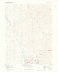
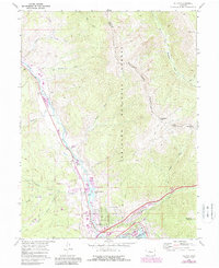
Editions of this 1970 Dillon Map
3 editions found
Other maps of this area

1924 · Montezuma
USGS Topo · 1:62,500

1924 · Fraser
USGS Topo · 1:62,500

1926 · Fraser
USGS Topo · 1:62,500

1926 · Montezuma
USGS Topo · 1:62,500

1929 · Dillon
USGS Topo · 1:62,500

1933 · Montezuma
USGS Topo · 1:62,500

1933 · Ute Peak
USGS Topo · 1:62,500

1934 · Dillon
USGS Topo · 1:62,500

1937 · Ute Peak
USGS Topo · 1:62,500

1953 · Denver
USGS Topo · 1:250,000