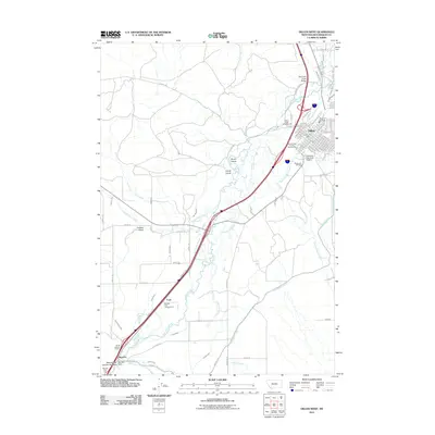
2011 Map of Dillon West
USGS Topo · Published 2011About this map
Dillon serves as the focal point for this high-altitude valley, where the University of Montana Western and Beaverhead County Fairgrounds anchor the eastern edge of the survey. The landscape is defined by the intricate winding of the Beaverhead River, which is flanked by an extensive network of irrigation infrastructure including the East Bench Canal and Poindexter Slough. This system of ditches and sloughs, such as Van Camp Slough and Sawmill Slough, reveals the intensive water management required for agriculture and ranching in this part of Montana. To the southwest, the river's flow is managed at Barretts Dam near the small settlement of Barretts. This area also shows signs of resource extraction at the NE SE Section 19 Mine and recreation at Barretts Park Campground. The presence of Smith Island and Lovell Island within the river corridor highlights the braided nature of the local waterways.
Find a feature on this map
81 named features on this map. Tap any name to fly to it.
Don’t see what you’re looking for? This feature index may not catch every label — zoom into the map to look around manually.
Map Details
Editions of this 2011 Dillon West Map
This is the sole edition of this map. No revisions or reprints were ever made.
Other maps of this area

1893 · Dillon
USGS Topo · 1:250,000

1952 · Argenta
USGS Topo · 1:24,000

1952 · Burns Mountain
USGS Topo · 1:24,000

1952 · Dalys
USGS Topo · 1:24,000

1952 · Gallagher Mountain
USGS Topo · 1:24,000

1955 · Dillon
USGS Topo · 1:250,000

1957 · Dillon
USGS Topo · 1:250,000

1958 · Dillon
USGS Topo · 1:250,000

1961 · Glen SE
USGS Topo · 1:24,000

1961 · Ashbough Canyon
USGS Topo · 1:24,000