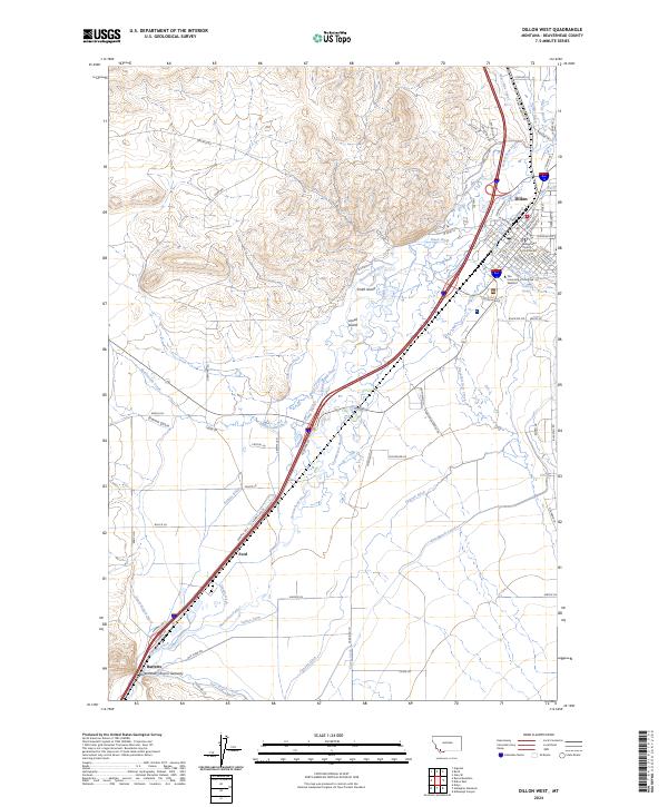
2024 Map of Dillon West
USGS Topo · Published 2024About this map
The Beaverhead River valley serves as the primary corridor for movement and settlement, hosting the city of Dillon and the University of Montana Western. This modern topographic study reveals a landscape heavily defined by agricultural water management, with a dense network of irrigation features such as the West Side Canal, East Bench Canal, and Canyon Ditch branching across the valley floor. To the south, Barretts and the Beaverhead Canyon Gateway mark a narrowing of the terrain where the Union Pacific RR and major roadways converge. The river itself creates a complex riparian environment, winding past named landforms like Smith Island and Lovell Island while receiving tributaries like Rattlesnake Creek and Blacktail Deer Creek. Local history is anchored by the Beaverhead County Courthouse, which stands as a central landmark within the grid of Dillon's street network.
Find a feature on this map
90 named features on this map. Tap any name to fly to it.
Don’t see what you’re looking for? This feature index may not catch every label — zoom into the map to look around manually.
Map Details
Editions of this 2024 Dillon West Map
This is the sole edition of this map. No revisions or reprints were ever made.
Other maps of this area

1893 · Dillon
USGS Topo · 1:250,000

1952 · Argenta
USGS Topo · 1:24,000

1952 · Burns Mountain
USGS Topo · 1:24,000

1952 · Dalys
USGS Topo · 1:24,000

1952 · Gallagher Mountain
USGS Topo · 1:24,000

1955 · Dillon
USGS Topo · 1:250,000

1957 · Dillon
USGS Topo · 1:250,000

1958 · Dillon
USGS Topo · 1:250,000

1961 · Glen SE
USGS Topo · 1:24,000

1961 · Ashbough Canyon
USGS Topo · 1:24,000