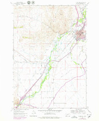
1963 Map of Dillon West
USGS Topo · Published 1979About this map
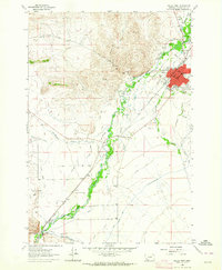
Dillon serves as the focal point of this valley landscape, where the Union Pacific railroad line mirrors the winding course of the Beaverhead River. The 1963 survey, updated with 1970s aerial data, reveals a highly managed hydrological system critical to the region's agricultural life. Numerous irrigation works like the East Bench Canal, Side Canal, and Haines DITCH crisscross the valley floor, working alongside natural features like Poindexter Slough and Smith Island. In the north, the urban character of the town is marked by its High Sch, the Fairground, and a Drive-in Theater, while to the south, the Beaverhead Canyon Gateway signals a transition into more constrained terrain near the settlement of Barretts. Local history is preserved in landmarks such as the Blacktail Sch and various family-named features like Tulley Spring.
Find a feature on this map
37 named features on this map. Tap any name to fly to it.
Don’t see what you’re looking for? This feature index may not catch every label — zoom into the map to look around manually.
Map Details
Editions of this 1963 Dillon West Map
2 editions found
Other maps of this area

1893 · Dillon
USGS Topo · 1:250,000

1952 · Argenta
USGS Topo · 1:24,000

1952 · Burns Mountain
USGS Topo · 1:24,000

1952 · Dalys
USGS Topo · 1:24,000

1952 · Gallagher Mountain
USGS Topo · 1:24,000

1955 · Dillon
USGS Topo · 1:250,000

1957 · Dillon
USGS Topo · 1:250,000

1958 · Dillon
USGS Topo · 1:250,000

1961 · Glen SE
USGS Topo · 1:24,000

1961 · Ashbough Canyon
USGS Topo · 1:24,000