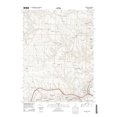
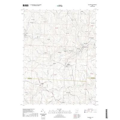
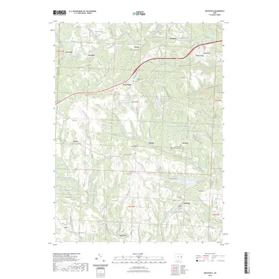
2023 Map of Dillonvale
USGS Topo · Published 2023About this map
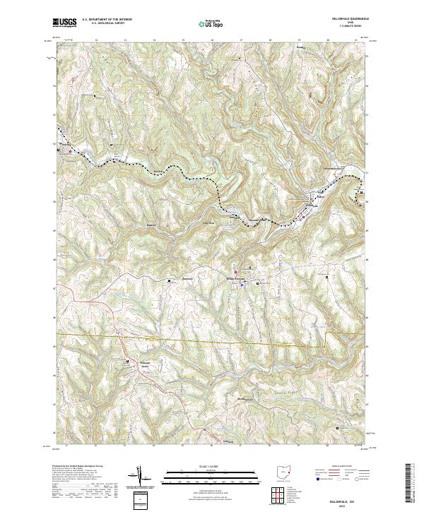
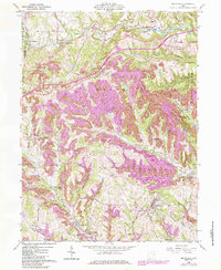
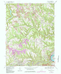
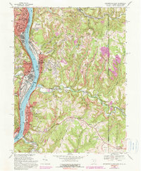
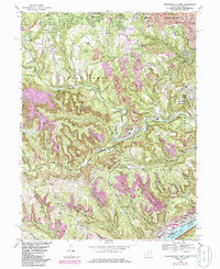
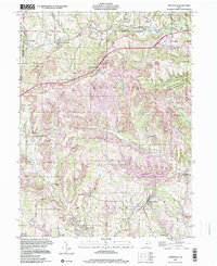
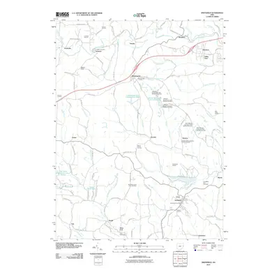
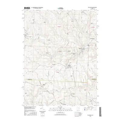
The Jefferson County Courthouse Number Three stands as a central civic landmark in this modern survey of eastern Ohio, situated between the communities of Dillonvale and Pine Valley. The landscape is a complex network of ridges and narrow valleys, defined by features like Cherry Ridge, Brier Ridge, and Seminary Valley. Industrial legacies are visible through the large Dunglen Mine Impoundment and Dorothy Mine Pond, which underscore the region's mining history along the Short Creek watershed. Genealogists will find an exceptional density of family and denominational burial grounds, including the Rehoboth Cem, Hicksite Cem, and the Roman Catholic Saint Casimirs Cem. These sites, along with smaller settlements like Olszeski Town, Dunglen, and Emerson, reveal the layered heritage of the coal and farming communities that have long occupied these hills along the Belmont Co and Jefferson Co border.
Find a feature on this map
137 named features on this map. Tap any name to fly to it.
Don’t see what you’re looking for? This feature index may not catch every label — zoom into the map to look around manually.
Map Details
Editions of this 2023 Dillonvale Map
This is the sole edition of this map. No revisions or reprints were ever made.
Historical Maps of Colerain Through Time
34 maps found
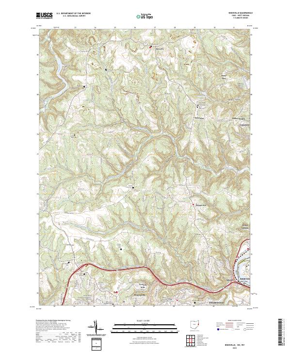
1958 Knoxville
Jefferson County, OH
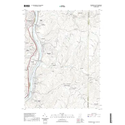
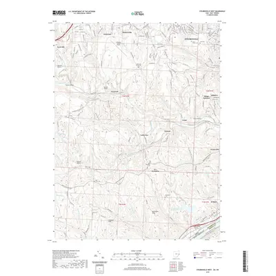
1958 Steubenville West
Jefferson County, OH
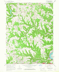
1960 Dillonvale
Jefferson County, OH
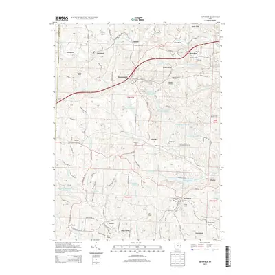
1960 Smithfield
Jefferson County, OH
1968 Knoxville
Jefferson County, OH
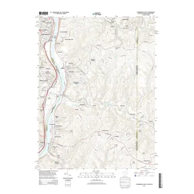
1968 Steubenville East
Jefferson County, OH
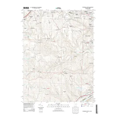
1968 Steubenville West
Jefferson County, OH
1997 Smithfield
Jefferson County, OH
1997 Steubenville East
Jefferson County, OH
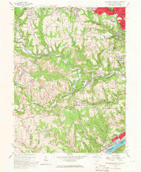
2010 Dillonvale
Jefferson County, OH
2010 Knoxville
Jefferson County, OH
2010 Smithfield
Jefferson County, OH
2010 Steubenville East
Jefferson County, OH
2011 Steubenville West
Jefferson County, OH
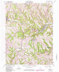
2013 Dillonvale
Jefferson County, OH
2013 Knoxville
Jefferson County, OH
2013 Smithfield
Jefferson County, OH
2013 Steubenville East
Jefferson County, OH
2013 Steubenville West
Jefferson County, OH
2016 Dillonvale
Jefferson County, OH
2016 Knoxville
Jefferson County, OH
2016 Smithfield
Jefferson County, OH
2016 Steubenville East
Jefferson County, OH
2016 Steubenville West
Jefferson County, OH
2019 Dillonvale
Jefferson County, OH
2019 Knoxville
Jefferson County, OH
2019 Smithfield
Jefferson County, OH
2019 Steubenville East
Jefferson County, OH
2019 Steubenville West
Jefferson County, OH
2023 Dillonvale
Jefferson County, OH
2023 Knoxville
Jefferson County, OH
2023 Smithfield
Jefferson County, OH
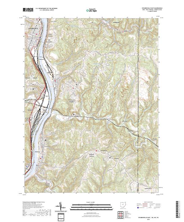
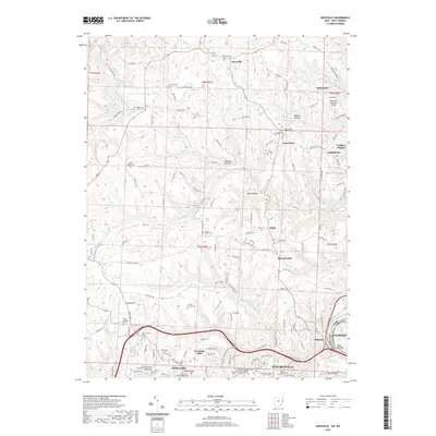
2023 Steubenville East
Jefferson County, OH
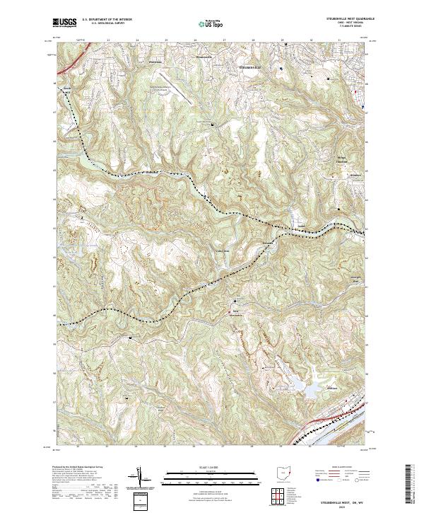
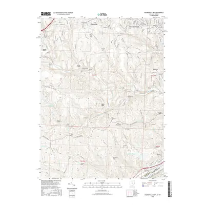
2023 Steubenville West
Jefferson County, OH