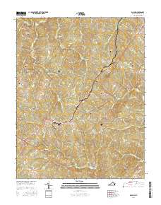
2016 Map of Dillwyn
USGS Topo · Published 2016About this map
Dillwyn and the surrounding Buckingham County countryside are defined by a complex network of creeks and numerous small family or community burial grounds. The area near Eldridge Mill in the north and Rosney in the south is connected by historic routes like Copper Mine RD and Rosney RD, tracing a landscape shaped by early industry and agriculture. Prominent elevations such as Buffards Mtn and Tower Hill rise above the drainage basins of Turpin Cr and Joshua Cr. For the local historian, the map identifies over a dozen distinct cemeteries, including Mourning Valley Cem, Gold Mine Cem, and Rocky Mount Cem, many of which represent long-standing family lineages in this part of Virginia. The presence of Gold-Mine Br and Eldridge Mill points toward the traditional economic foundations of the region before modern development.
Find a feature on this map
89 named features on this map. Tap any name to fly to it.
Don’t see what you’re looking for? This feature index may not catch every label — zoom into the map to look around manually.
Map Details
Editions of this 2016 Dillwyn Map
This is the sole edition of this map. No revisions or reprints were ever made.
Other maps of this area

1891 · Palmyra
USGS Topo · 1:125,000

1891 · Farmville
USGS Topo · 1:125,000

1892 · Buckingham
USGS Topo · 1:125,000

1892 · Appomattox
USGS Topo · 1:125,000

1893 · Farmville
USGS Topo · 1:125,000

1895 · Palmyra
USGS Topo · 1:125,000

1897 · Palmyra
USGS Topo · 1:125,000

1947 · Roanoke
USGS Topo · 1:250,000

1950 · Dillwyn
USGS Topo · 1:62,500

1958 · Farmville
USGS Topo · 1:62,500