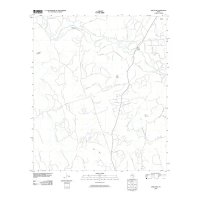
2010 Map of Ding Dong
USGS Topo · Published 2010About this map
Ding Dong and Maxdale anchor this central Texas landscape, where the meandering course of the Lampasas River snakes through a region defined by ranching and small aviation facilities. The topography is marked by significant rises and drainages, such as the prominent Hog Mountain and the deep recesses of Tom Adams Hollow. The map reveals a transition between established watercourses like Mill Creek and modern infrastructure, including the Fisher Ranch Airport and White Airport. Road systems like Sharp Cemetery Rd and River Ridge Ranch Rd point to the area's agricultural heritage and more recent residential developments. The presence of Indian Lake and numerous branches like McDaniel Branch and Wilson Branch illustrate the complex watershed of the Lampasas basin, showing a rural environment that maintains its local character even as contemporary land divisions emerge.
Find a feature on this map
48 named features on this map. Tap any name to fly to it.
Don’t see what you’re looking for? This feature index may not catch every label — zoom into the map to look around manually.
Map Details
Editions of this 2010 Ding Dong Map
This is the sole edition of this map. No revisions or reprints were ever made.
Other maps of this area

1893 · Georgetown
USGS Topo · 1:125,000

1894 · Gatesville
USGS Topo · 1:125,000

1930 · Killeen
USGS Topo · 1:62,500

1947 · Fort Hood
USGS Topo · 1:62,500

1947 · Killeen
USGS Topo · 1:62,500

1947 · McMillan Mountains
USGS Topo · 1:24,000

1947 · Killeen
USGS Topo · 1:24,000

1947 · Copperas Cove
USGS Topo · 1:24,000

1954 · Waco
USGS Topo · 1:250,000

1954 · Austin
USGS Topo · 1:250,000