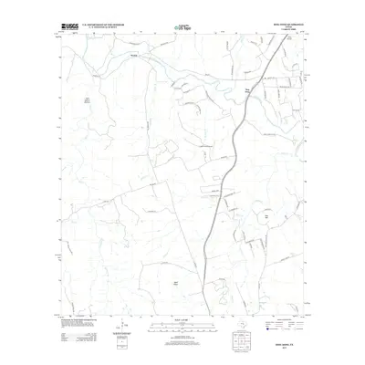
2013 Map of Ding Dong
USGS Topo · Published 2013About this map
The Lampasas River carves a winding path through this portion of Bell County, where the uniquely named settlement of Ding Dong sits along the riverbanks. To the west, Maxdale serves as a primary point of settlement, connected by a network of rural routes like Maxdale Rd. The terrain is defined by numerous drainage branches such as Sycamore Br and Glover Br, which feed into the main river valley. Local landmarks such as Hog Mtn and Wolf Ridge rise above the surrounding creek beds, while Tom Adams Hollow indicates the deeply dissected nature of the limestone landscape. The presence of White Airport and Fisher Ranch Airport highlights the importance of private aviation in this rural Texas region, while the location of Sharp Cemetery Rd provides a specific point of interest for genealogists tracing local family history.
Find a feature on this map
73 named features on this map. Tap any name to fly to it.
Don’t see what you’re looking for? This feature index may not catch every label — zoom into the map to look around manually.
Map Details
Editions of this 2013 Ding Dong Map
This is the sole edition of this map. No revisions or reprints were ever made.
Other maps of this area

1893 · Georgetown
USGS Topo · 1:125,000

1894 · Gatesville
USGS Topo · 1:125,000

1930 · Killeen
USGS Topo · 1:62,500

1947 · Fort Hood
USGS Topo · 1:62,500

1947 · Killeen
USGS Topo · 1:62,500

1947 · McMillan Mountains
USGS Topo · 1:24,000

1947 · Killeen
USGS Topo · 1:24,000

1947 · Copperas Cove
USGS Topo · 1:24,000

1954 · Waco
USGS Topo · 1:250,000

1954 · Austin
USGS Topo · 1:250,000