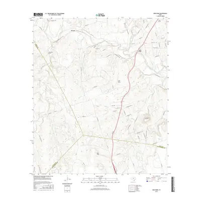
2016 Map of Ding Dong
USGS Topo · Published 2016About this map
The Lampasas River winds through the northern reaches of this Central Texas landscape, defining the topography near the uniquely named settlement of Ding Dong. To the west, Maxdale sits at the junction of Maxdale Rd and the river valley, where numerous seasonal tributaries like Sizemore Br and Gann Br feed the primary waterway. The terrain transitions from river bottomlands into the elevated ridges of Wolf Ridge and the prominent height of Hog Mtn in the east.
Find a feature on this map
73 named features on this map. Tap any name to fly to it.
Don’t see what you’re looking for? This feature index may not catch every label — zoom into the map to look around manually.
Map Details
Editions of this 2016 Ding Dong Map
This is the sole edition of this map. No revisions or reprints were ever made.
Other maps of this area

1893 · Georgetown
USGS Topo · 1:125,000

1894 · Gatesville
USGS Topo · 1:125,000

1930 · Killeen
USGS Topo · 1:62,500

1947 · Fort Hood
USGS Topo · 1:62,500

1947 · Killeen
USGS Topo · 1:62,500

1947 · McMillan Mountains
USGS Topo · 1:24,000

1947 · Killeen
USGS Topo · 1:24,000

1947 · Copperas Cove
USGS Topo · 1:24,000

1954 · Waco
USGS Topo · 1:250,000

1954 · Austin
USGS Topo · 1:250,000