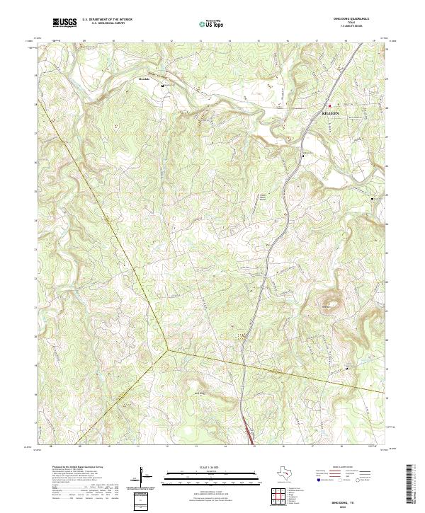
2022 Map of Ding Dong
USGS Topo · Published 2022About this map
The Lampasas River carves a winding path through this Central Texas landscape, defining the topography north of the Bell and Williamson County line. The settlement of Maxdale serves as a local focal point near the river's bend, while the southwestern fringes of Killeen begin to encroach from the northeast. This area preserves a high density of family and community burial grounds, including Maxdale Cem, Mcbryde Cem, and the Glover Family Cem, providing significant touchpoints for genealogical research in the region.
Find a feature on this map
80 named features on this map. Tap any name to fly to it.
Don’t see what you’re looking for? This feature index may not catch every label — zoom into the map to look around manually.
Map Details
Editions of this 2022 Ding Dong Map
This is the sole edition of this map. No revisions or reprints were ever made.
Other maps of this area

1893 · Georgetown
USGS Topo · 1:125,000

1894 · Gatesville
USGS Topo · 1:125,000

1930 · Killeen
USGS Topo · 1:62,500

1947 · Fort Hood
USGS Topo · 1:62,500

1947 · Killeen
USGS Topo · 1:62,500

1947 · McMillan Mountains
USGS Topo · 1:24,000

1947 · Killeen
USGS Topo · 1:24,000

1947 · Copperas Cove
USGS Topo · 1:24,000

1954 · Waco
USGS Topo · 1:250,000

1954 · Austin
USGS Topo · 1:250,000