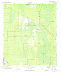
1970 Map of Dinner Island
USGS Topo · Published 1973About this map
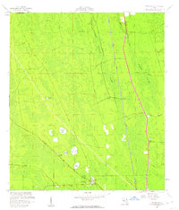
Big Cypress Swamp dominates this landscape along the boundary of St Johns and Flagler Counties, where elevated terrain islands rise above the surrounding wetlands. This 1970 survey illustrates a region defined by its hydrography and the strategic positioning of small settlements. The Florida East Coast railway cuts diagonally through the northern reaches, passing through the community of Roy, while another rail line runs along the eastern edge near Dinner Island.
Find a feature on this map
16 named features on this map. Tap any name to fly to it.
Don’t see what you’re looking for? This feature index may not catch every label — zoom into the map to look around manually.
Map Details
Editions of this 1970 Dinner Island Map
3 editions found
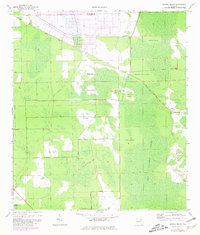
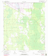
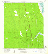
Other maps of this area

1912 · Palatka
USGS Topo · 1:48,000

1915 · Palatka
USGS Topo · 1:62,500

1937 · Dinner Island
USGS Topo · 1:48,000

1943 · Dinner Island
USGS Topo · 1:62,500

1944 · Dinner Island
USGS Topo · 1:62,500

1954 · Daytona Beach
USGS Topo · 1:250,000
1956 · Dinner Island NE
USGS Topo · 1:24,000
1957 · Espanola
USGS Topo · 1:24,000

1958 · Daytona Beach
USGS Topo · 1:250,000

1964 · Daytona Beach
USGS Topo · 1:250,000