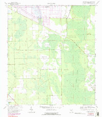
1970 Map of Dinner Island
USGS Topo · Published 1990About this map
Big Cypress Swamp dominates this landscape along the border of St Johns and Flagler Counties, where a complex network of dry hammocks and wet lowlands creates a patchwork of islands. Small interior settlements such as Roy and the namesake Dinner Island sit amongst a series of named high points including Jack O'Neck Island, Turkey Island, and Pine Island. The presence of an Old Railroad Grade cutting across the northern sections points to earlier industrial activity, likely timber extraction, that shaped the region before these updates in the early 1970s.
Find a feature on this map
15 named features on this map. Tap any name to fly to it.
Don’t see what you’re looking for? This feature index may not catch every label — zoom into the map to look around manually.
Map Details
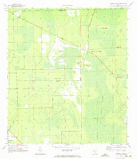
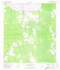
Editions of this 1970 Dinner Island Map
3 editions found
Other maps of this area

1912 · Palatka
USGS Topo · 1:48,000

1915 · Palatka
USGS Topo · 1:62,500

1937 · Dinner Island
USGS Topo · 1:48,000

1943 · Dinner Island
USGS Topo · 1:62,500

1944 · Dinner Island
USGS Topo · 1:62,500

1954 · Daytona Beach
USGS Topo · 1:250,000

1956 · Dinner Island NE
USGS Topo · 1:24,000
1957 · Espanola
USGS Topo · 1:24,000

1958 · Daytona Beach
USGS Topo · 1:250,000

1964 · Daytona Beach
USGS Topo · 1:250,000