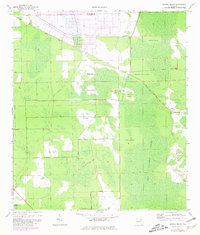
1970 Map of Dinner Island
USGS Topo · Published 1981About this map
Big Cypress Swamp dominates this interior Florida landscape, where slightly elevated ridges or hammock lands are identified as islands amidst the wetland. This 1970s survey captures a transition in land use along the border of St Johns and Flagler Counties. While the settlement of Shell Bluff sits near Salt Creek at the southwestern edge, much of the terrain is defined by its drainage and former transportation routes. An Old Railroad Grade cuts diagonally across the northern reaches, marking the legacy of earlier timber or agricultural transport. The map names numerous specific high-ground features including Old Dinner Island, West Durrance Island, and Jack O' Neck Island, which provided critical dry ground for homesteading and grazing in this part of the Florida peninsula.
Find a feature on this map
14 named features on this map. Tap any name to fly to it.
Don’t see what you’re looking for? This feature index may not catch every label — zoom into the map to look around manually.
Map Details
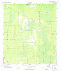
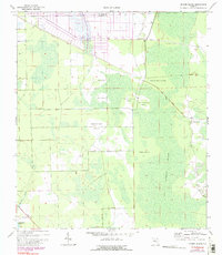
Editions of this 1970 Dinner Island Map
3 editions found
Other maps of this area

1912 · Palatka
USGS Topo · 1:48,000

1915 · Palatka
USGS Topo · 1:62,500

1937 · Dinner Island
USGS Topo · 1:48,000

1943 · Dinner Island
USGS Topo · 1:62,500

1944 · Dinner Island
USGS Topo · 1:62,500

1954 · Daytona Beach
USGS Topo · 1:250,000

1956 · Dinner Island NE
USGS Topo · 1:24,000
1957 · Espanola
USGS Topo · 1:24,000

1958 · Daytona Beach
USGS Topo · 1:250,000

1964 · Daytona Beach
USGS Topo · 1:250,000