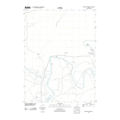
2011 Map of Dinosaur Quarry
USGS Topo · Published 2011About this map
The Green River carves a deep path through this portion of Uintah County, creating the dramatic geological features of the Dinosaur National Monument. The area is anchored by the world-famous Dinosaur Quarry, where prehistoric remains are preserved in stone. The river's winding course is accompanied by several significant drainages, including Brush Creek, Red Wash, and Cliff Creek, which have shaped the rugged topography of Split Mountain Canyon and Split Mountain Gorge Campground.
Find a feature on this map
22 named features on this map. Tap any name to fly to it.
Don’t see what you’re looking for? This feature index may not catch every label — zoom into the map to look around manually.
Map Details
Editions of this 2011 Dinosaur Quarry Map
This is the sole edition of this map. No revisions or reprints were ever made.
Other maps of this area

1885 · Ashley
USGS Topo · 1:250,000

1907 · Jensen
USGS Topo · 1:125,000

1910 · Jensen
USGS Topo · 1:125,000

1954 · Vernal
USGS Topo · 1:250,000

1955 · Island Park
USGS Topo · 1:24,000

1955 · Split Mountain
USGS Topo · 1:24,000

1958 · Vernal
USGS Topo · 1:250,000

1960 · Vernal
USGS Topo · 1:250,000
1965 · Donkey Flat
USGS Topo · 1:24,000
1965 · Dinosaur Quarry
USGS Topo · 1:24,000