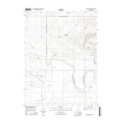
2014 Map of Dinosaur Quarry
USGS Topo · Published 2014About this map
The Green River carves a massive sweeping curve through this northeastern Utah landscape, defining the transition between the protected lands of Dinosaur National Monument and the agricultural valley to the south. The settlement of Jensen serves as the local hub, situated near the intersection of S Highway 149 and Cliff Cr. This area is defined by the stark contrasts between the dramatic geology of Split Mtn and the working lands of the 3-1 Rocker Ranch Airport.
Find a feature on this map
34 named features on this map. Tap any name to fly to it.
Don’t see what you’re looking for? This feature index may not catch every label — zoom into the map to look around manually.
Map Details
Editions of this 2014 Dinosaur Quarry Map
This is the sole edition of this map. No revisions or reprints were ever made.
Other maps of this area

1885 · Ashley
USGS Topo · 1:250,000

1907 · Jensen
USGS Topo · 1:125,000

1910 · Jensen
USGS Topo · 1:125,000

1954 · Vernal
USGS Topo · 1:250,000

1955 · Island Park
USGS Topo · 1:24,000

1955 · Split Mountain
USGS Topo · 1:24,000

1958 · Vernal
USGS Topo · 1:250,000

1960 · Vernal
USGS Topo · 1:250,000
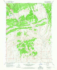
1965 · Donkey Flat
USGS Topo · 1:24,000
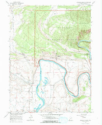
1965 · Dinosaur Quarry
USGS Topo · 1:24,000