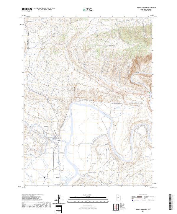
2023 Map of Dinosaur Quarry
USGS Topo · Published 2023About this map
The Green River carves a deep path through the eastern Utah landscape, serving as the central geographic feature of this Uintah County survey. To the north, the protected lands of Dinosaur National Monument dominate the terrain, where Split Mtn and Split Mountain Canyon demonstrate the powerful erosive force of the river over geologic time. The monument is crisscrossed by specialized paths like the Fossil Discovery Trl, Sound Of Silence Trl, and Desert Voices Trl, reflecting the area's dual focus on paleontological research and preservation.
Find a feature on this map
30 named features on this map. Tap any name to fly to it.
Don’t see what you’re looking for? This feature index may not catch every label — zoom into the map to look around manually.
Map Details
Editions of this 2023 Dinosaur Quarry Map
This is the sole edition of this map. No revisions or reprints were ever made.
Other maps of this area

1885 · Ashley
USGS Topo · 1:250,000

1907 · Jensen
USGS Topo · 1:125,000

1910 · Jensen
USGS Topo · 1:125,000

1954 · Vernal
USGS Topo · 1:250,000

1955 · Island Park
USGS Topo · 1:24,000

1955 · Split Mountain
USGS Topo · 1:24,000

1958 · Vernal
USGS Topo · 1:250,000

1960 · Vernal
USGS Topo · 1:250,000
1965 · Donkey Flat
USGS Topo · 1:24,000
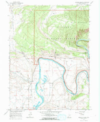
1965 · Dinosaur Quarry
USGS Topo · 1:24,000