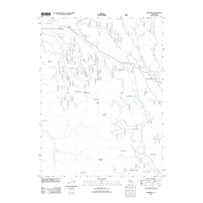
2012 Map of Dinsmore
USGS Topo · Published 2012About this map
The Van Duzen River carves a central path through this Trinity County landscape, serving as the primary corridor for settlement and transit. The small community of Dinsmore anchors the northern portion of the sheet, supported by the Dinsmore Airport and a network of Forest Service routes including Rattlesnake Bridge Rd and Forest Rte 1N10. The terrain is defined by steep ridges and named peaks such as Tierney Peak, Woodmans Butte, and Red Mountain, which separate isolated valleys like Sulphur Valley and Jack Rabbit Valley. Further south, the map details the confluence of numerous tributaries like Dairy Cr and Panther Cr as they feed into the Little Van Duzen River. This survey captures a transitional zone where high-country topography meets localized ranching and aviation infrastructure at the edge of the Mad River drainage.
Find a feature on this map
43 named features on this map. Tap any name to fly to it.
Don’t see what you’re looking for? This feature index may not catch every label — zoom into the map to look around manually.
Map Details
Editions of this 2012 Dinsmore Map
This is the sole edition of this map. No revisions or reprints were ever made.
Other maps of this area

1909 · Big Bar
USGS Topo · 1:96,000

1914 · Pilot Creek
USGS Topo · 1:62,500

1915 · Big Bar and Vicinity
USGS Topo · 1:250,000

1918 · Anada
USGS Topo · 1:62,500

1931 · Hoaglin
USGS Topo · 1:96,000

1935 · Hoaglin
USGS Topo · 1:125,000

1949 · Blocksburg
USGS Topo · 1:62,500

1951 · Blocksburg
USGS Topo · 1:62,500

1951 · Pilot Creek
USGS Topo · 1:62,500

1951 · Hyampom
USGS Topo · 1:62,500