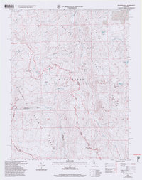
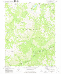
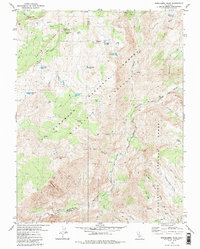
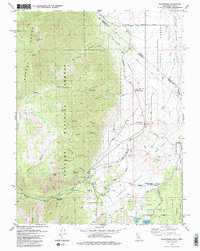
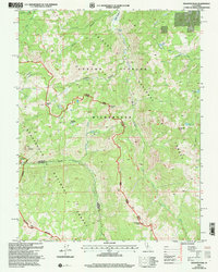
2001 Map of Disaster Peak
USGS Topo · Published 2004This historical map portrays the area of Disaster Peak in 2001, primarily covering Alpine County as well as portions of Tuolumne County. Featuring a scale of 1:24000, this map provides a highly detailed snapshot of the terrain, roads, buildings, counties, and historical landmarks in the Disaster Peak region at the time. Published in 2004, it is one of 2 known editions of this map due to revisions or reprints.
Find a feature on this map
25 named features on this map. Tap any name to fly to it.
Don’t see what you’re looking for? This feature index may not catch every label — zoom into the map to look around manually.
Map Details
Editions of this 2001 Disaster Peak Map
2 editions found
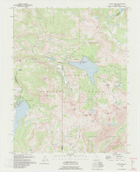
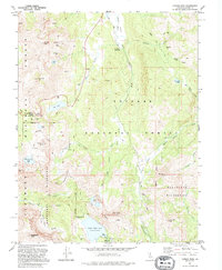
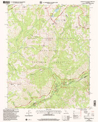
Historical Maps of Tuolumne County Through Time
19 maps found
1956 Freel Peak
Alpine County, CA
1979 Caples Lake
Alpine County, CA
1979 Carson Pass
Alpine County, CA
1979 Dardanelles Cone
Alpine County, CA
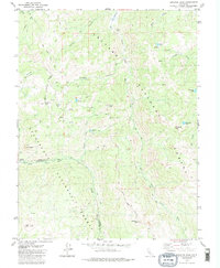
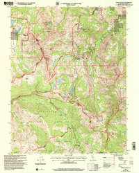
1979 Disaster Peak
Alpine County, CA
1979 Ebbetts Pass
Alpine County, CA
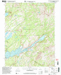
1979 Heenan Lake
Alpine County, CA
1979 Mokelumne Peak
Alpine County, CA
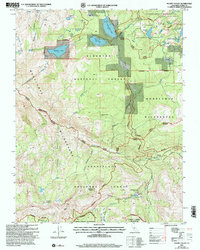
1979 Pacific Valley
Alpine County, CA
1979 Spicer Meadow Res
Alpine County, CA
1979 Wolf Creek
Alpine County, CA
1979 Woodfords
Alpine County, CA
1992 Caples Lake
Alpine County, CA
1992 Carson Pass
Alpine County, CA
2001 Dardanelles Cone
Alpine County, CA
2001 Disaster Peak
Alpine County, CA
2001 Ebbetts Pass
Alpine County, CA
2001 Pacific Valley
Alpine County, CA
2001 Spicer Meadow Reservoir
Alpine County, CA