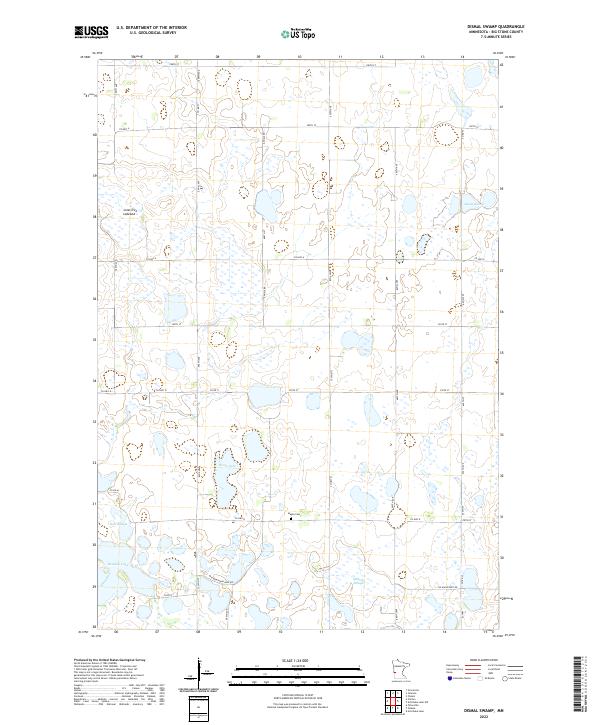
2022 Map of Dismal Swamp
USGS Topo · Published 2022About this map
Maple Cem serves as a quiet landmark in this corner of Big Stone County, situated near the headwaters of local drainages. The landscape is defined by its extensive wetlands and depressions, notably the eponymous Dismal Swamp in the northeast and the broad Lone Tree Lakebed to the west. These features, along with Olson Lake, Bentsen Lake, and Kort Slough, suggest a prairie pothole environment where water dictates the movement of people and the placement of roads.
Find a feature on this map
36 named features on this map. Tap any name to fly to it.
Don’t see what you’re looking for? This feature index may not catch every label — zoom into the map to look around manually.
Map Details
Editions of this 2022 Dismal Swamp Map
This is the sole edition of this map. No revisions or reprints were ever made.
Other maps of this area

1910 · Chokio
USGS Topo · 1:62,500

1912 · Chokio
USGS Topo · 1:62,500

1950 · Graceville
USGS Topo · 1:62,500

1953 · Ortonville
USGS Topo · 1:62,500

1953 · Milbank
USGS Topo · 1:250,000

1958 · Milbank
USGS Topo · 1:250,000

1968 · Artichoke Lake NW
USGS Topo · 1:24,000

1968 · Artichoke Lake
USGS Topo · 1:24,000

1971 · Dismal Swamp
USGS Topo · 1:24,000

1971 · Odessa
USGS Topo · 1:24,000