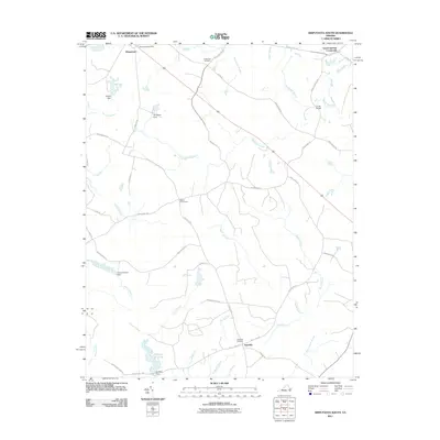
2011 Map of Disputanta South
USGS Topo · Published 2011About this map
The low-lying hydrology of Sussex County dominates this 2011 survey, where complex drainages like Warwick Swamp and Joseph Swamp weave between scattered rural crossroads. The settlement of Newville serves as a southern anchor, located near the Newville Cemetery and the intersection of Beef Steak Rd. To the north, the area around Disputanta is marked by the Disputanta Post Office and nearby Wright Pond. This landscape is defined by its historical water management, evidenced by features such as Nebletts Millpond, Josephs Mill Pond, and several local dams including Van Metre Dam and Nebletts Dam. Genealogists may find interest in the documented crossroads and family-named infrastructure, such as Cooks Bridge and the Centerville Cemetery, which illustrate the long-standing community footprint within the region's dense network of branches and swamps.
Find a feature on this map
50 named features on this map. Tap any name to fly to it.
Don’t see what you’re looking for? This feature index may not catch every label — zoom into the map to look around manually.
Map Details
Editions of this 2011 Disputanta South Map
This is the sole edition of this map. No revisions or reprints were ever made.
Other maps of this area

1894 · Petersburg
USGS Topo · 1:62,500

1919 · Jarratt
USGS Topo · 1:62,500

1919 · Disputanta
USGS Topo · 1:62,500

1919 · Homeville
USGS Topo · 1:48,000

1920 · Homeville
USGS Topo · 1:62,500

1943 · Manry
USGS Topo · 1:31,680

1943 · Littleton
USGS Topo · 1:31,680

1943 · Savedge
USGS Topo · 1:31,680

1943 · Disputanta
USGS Topo · 1:31,680

1943 · Richmond
USGS Topo · 1:250,000