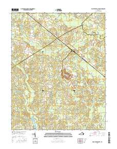
2016 Map of Disputanta South
USGS Topo · Published 2016About this map
Newville and the surrounding coastal plain of Sussex County are defined by a complex network of wetlands and drainage basins as they appeared in 2016. The landscape is dominated by the slow-moving waters of Warwick Swamp, Blackwater Swamp, and Assamoosick Swamp, which feed into the Blackwater River near the border of Surry County. This area shows a pattern of rural settlement where small communities like Disputanta and Laurel Springs Crossroads are connected by timber and farm roads such as Beef Steak Rd and Cabin Point Rd. Historical land use is evident in the presence of Nebletts Millpond and Josephs Mill Pond, while local genealogy is grounded by the Newville Cem and Centerville Cem. The map illustrates how human habitation has long adapted to the pervasive swampy terrain of southern Virginia.
Find a feature on this map
56 named features on this map. Tap any name to fly to it.
Don’t see what you’re looking for? This feature index may not catch every label — zoom into the map to look around manually.
Map Details
Editions of this 2016 Disputanta South Map
This is the sole edition of this map. No revisions or reprints were ever made.
Other maps of this area

1894 · Petersburg
USGS Topo · 1:62,500

1919 · Jarratt
USGS Topo · 1:62,500

1919 · Disputanta
USGS Topo · 1:62,500

1919 · Homeville
USGS Topo · 1:48,000

1920 · Homeville
USGS Topo · 1:62,500

1943 · Manry
USGS Topo · 1:31,680

1943 · Littleton
USGS Topo · 1:31,680

1943 · Savedge
USGS Topo · 1:31,680

1943 · Disputanta
USGS Topo · 1:31,680

1943 · Richmond
USGS Topo · 1:250,000