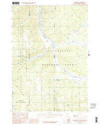
1986 Map of Divide Lake
USGS Topo · Published 1986About this map
The Gallatin River flows through this high-altitude landscape along the border between Gallatin County and Park County, where the boundary between Montana and Wyoming remains an Indefinite Boundary. This mid-1980s provisional study documents a region defined by federal protection, where Yellowstone National Park meets the Gallatin National Forest. The map captures the meeting of administrative lines and natural waterways, including the headwaters of Grayling Creek and Bacon Rind Creek.
Find a feature on this map
23 named features on this map. Tap any name to fly to it.
Don’t see what you’re looking for? This feature index may not catch every label — zoom into the map to look around manually.
Map Details
Editions of this 1986 Divide Lake Map
2 editions found
Other maps of this area

1885 · Gallatin
USGS Topo · 1:125,000

1885 · Gallatin
USGS Topo · 1:125,000

1888 · Three Forks
USGS Topo · 1:250,000

1891 · Livingston
USGS Topo · 1:250,000

1893 · Livingston
USGS Topo · 1:250,000

1894 · Three Forks
USGS Topo · 1:250,000

1895 · Three Forks
USGS Topo · 1:250,000

1901 · Gallatin
USGS Topo · 1:125,000

1908 · Gallatin
USGS Topo · 1:125,000

1911 · Gallatin
USGS Topo · 1:125,000