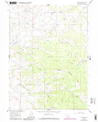
1961 Map of Divide Peak
USGS Topo · Published 1984About this map
The Continental Divide winds through this high-altitude landscape of the Medicine Bow National Forest, marking the fundamental hydrologic split of the American West. Centered on Divide Peak, this 1960s survey (updated in the early 1980s) details a network of watercourses including the North Fork Savery Creek and East Fork Savery Creek. Human presence in this isolated terrain is characterized by dispersed sites like Hansen Ranch and the Twin Groves area. To the south, Dexter Peak rises above the confluence of Mexican Creek and Strawberry Creek. The map documents early extraction and land use, featuring the Bridger Mine near Mc Lain Creek and a Prospect located near Hartt Creek. It provides a clear record of the backcountry road network and high-country meadows like Joes Park before modern development patterns shifted the landscape.
Find a feature on this map
30 named features on this map. Tap any name to fly to it.
Don’t see what you’re looking for? This feature index may not catch every label — zoom into the map to look around manually.
Map Details
Editions of this 1961 Divide Peak Map
4 editions found
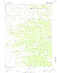
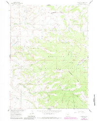
Other maps of this area

1932 · Savery
USGS Topo · 1:96,000

1940 · Savery
USGS Topo · 1:125,000

1954 · Rawlins
USGS Topo · 1:250,000

1958 · Rawlins
USGS Topo · 1:250,000

1961 · Divide Peak
USGS Topo · 1:24,000

1961 · Middlewood Hill
USGS Topo · 1:24,000

1961 · Pine Grove Ranch
USGS Topo · 1:24,000

1961 · Bridger Peak
USGS Topo · 1:24,000

1961 · Jack Creek Reservoir
USGS Topo · 1:24,000
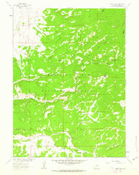
1961 · Singer Peak
USGS Topo · 1:24,000