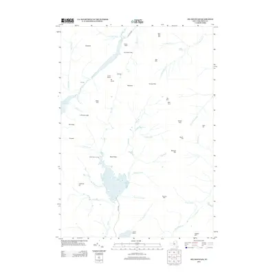
2013 Map of Dix Mountain
USGS Topo · Published 2013About this map
Wagon Wheel Landing and the northern reaches of Elk Lake anchor this 2013 topographic study of the High Peaks region in Essex County. The landscape is defined by its verticality, with the Colvin Range and high summits like Dix Mtn, Nippletop, and Macomb Mtn surrounding deep glacial basins. The drainage patterns are distinct, showing the E Br Ausable River flowing north from Lower Ausable Lake past Rainbow Falls, while the N Fork Boquet River drains the eastern slopes. Notable landmarks for travel through the terrain include The Carry between the Ausable Lakes and Hunters Pass south of Dial Mtn. The map preserves local place names such as Cy Beedes Ledge and The Narrows, illustrating the traditional routes and vantage points used to navigate this complex terrain.
Find a feature on this map
62 named features on this map. Tap any name to fly to it.
Don’t see what you’re looking for? This feature index may not catch every label — zoom into the map to look around manually.
Map Details
Editions of this 2013 Dix Mountain Map
This is the sole edition of this map. No revisions or reprints were ever made.
Other maps of this area

1894 · Elizabethtown
USGS Topo · 1:62,500

1895 · Elizabethtown
USGS Topo · 1:62,500

1895 · Mt. Marcy
USGS Topo · 1:62,500

1895 · Paradox Lake
USGS Topo · 1:62,500

1897 · Paradox Lake
USGS Topo · 1:62,500

1897 · Schroon Lake
USGS Topo · 1:62,500

1901 · Elizabethtown
USGS Topo · 1:62,500

1902 · Mt. Marcy
USGS Topo · 1:62,500

1950 · Glens Falls
USGS Topo · 1:250,000

1950 · Lake Champlain
USGS Topo · 1:250,000