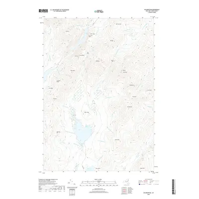
2019 Map of Dix Mountain
USGS Topo · Published 2019About this map
Elk Lake sits as the central focal point of this high-elevation landscape, surrounded by the dramatic verticality of the Colvin Range and the Sawteeth. This wilderness area is defined by its series of major peaks and passes, including Nippletop and the prominent Dix Mtn. Notable water features such as Rainbow Falls and the Clear Pond southern basin demonstrate the complex drainage patterns of the High Peaks region, where several forks of the Boquet River originate.
Find a feature on this map
61 named features on this map. Tap any name to fly to it.
Don’t see what you’re looking for? This feature index may not catch every label — zoom into the map to look around manually.
Map Details
Editions of this 2019 Dix Mountain Map
This is the sole edition of this map. No revisions or reprints were ever made.
Other maps of this area

1894 · Elizabethtown
USGS Topo · 1:62,500

1895 · Elizabethtown
USGS Topo · 1:62,500

1895 · Mt. Marcy
USGS Topo · 1:62,500

1895 · Paradox Lake
USGS Topo · 1:62,500

1897 · Paradox Lake
USGS Topo · 1:62,500

1897 · Schroon Lake
USGS Topo · 1:62,500

1901 · Elizabethtown
USGS Topo · 1:62,500

1902 · Mt. Marcy
USGS Topo · 1:62,500

1950 · Glens Falls
USGS Topo · 1:250,000

1950 · Lake Champlain
USGS Topo · 1:250,000