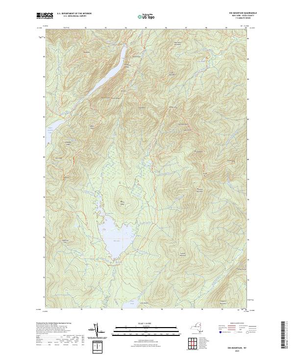
2023 Map of Dix Mountain
USGS Topo · Published 2023About this map
Elk Lake and the towering summits of the High Peaks region define this 2023 survey of Essex County. The landscape is dominated by vertical relief, from the sharp ascent of Dix Mountain to the high-elevation wetland of Duck Hole. An intricate network of footpaths, including the Elk Lake To Marcy Trl and the Leach Trl, provides a detailed record of modern access routes through the wilderness. These trails connect significant landmarks such as Nippletop, Hunters Pass, and Mount Colvin, reflecting the area's long history as a destination for navigation and exploration.
Find a feature on this map
86 named features on this map. Tap any name to fly to it.
Don’t see what you’re looking for? This feature index may not catch every label — zoom into the map to look around manually.
Map Details
Editions of this 2023 Dix Mountain Map
This is the sole edition of this map. No revisions or reprints were ever made.
Other maps of this area

1894 · Elizabethtown
USGS Topo · 1:62,500

1895 · Elizabethtown
USGS Topo · 1:62,500

1895 · Mt. Marcy
USGS Topo · 1:62,500

1895 · Paradox Lake
USGS Topo · 1:62,500

1897 · Paradox Lake
USGS Topo · 1:62,500

1897 · Schroon Lake
USGS Topo · 1:62,500

1901 · Elizabethtown
USGS Topo · 1:62,500

1902 · Mt. Marcy
USGS Topo · 1:62,500

1950 · Glens Falls
USGS Topo · 1:250,000

1950 · Lake Champlain
USGS Topo · 1:250,000