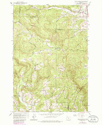
1961 Map of Dixie Mountain
USGS Topo · Published 1986About this map
Gourlay Mountain and Dixie Mtn dominate this upland landscape where Washington, Columbia, and Multnomah counties meet. The area’s mid-century character is defined by a network of ridge-top roads and deep drainages, including Dutch Canyon and Brunswick Canyon. Settlement patterns here lean heavily on agricultural and social hubs, such as the Grange Hall near the Wallace Sch and various family-named homesteads like Dixie Ranch and Sky Ranch.
Find a feature on this map
52 named features on this map. Tap any name to fly to it.
Don’t see what you’re looking for? This feature index may not catch every label — zoom into the map to look around manually.
Map Details
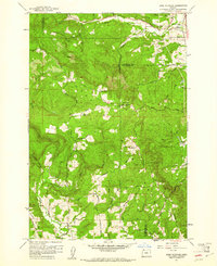
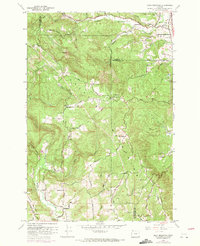
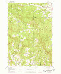
Editions of this 1961 Dixie Mountain Map
4 editions found
Other maps of this area

1915 · Hillsboro
USGS Topo · 1:62,500

1918 · Hillsboro
USGS Topo · 1:62,500

1922 · St. Helens
USGS Topo · 1:62,500

1940 · Hillsboro
USGS Topo · 1:62,500

1940 · Vernonia
USGS Topo · 1:62,500

1941 · St Helens
USGS Topo · 1:62,500

1941 · Gales Creek
USGS Topo · 1:62,500

1943 · Vernonia
USGS Topo · 1:62,500

1943 · St Helens
USGS Topo · 1:62,500

1948 · Vancouver
USGS Topo · 1:250,000