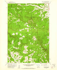
1961 Map of Dixie Mountain
USGS Topo · Published 1961About this map
Dixie Mtn rises as a central landmark in this 1961 survey, marking a rugged intersection where Columbia, Multnomah, and Washington counties meet. The landscape is defined by the headwaters of numerous drainages, including Dutch Canyon and South Scappoose Creek flowing northeast, while McKay Creek and Rock Creek drain the southern slopes. Settlement patterns are concentrated along the ridgelines and creek valleys, characterized by a mix of agriculture and community institutions.
Find a feature on this map
52 named features on this map. Tap any name to fly to it.
Don’t see what you’re looking for? This feature index may not catch every label — zoom into the map to look around manually.
Map Details
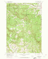
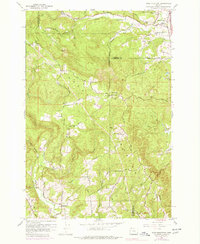
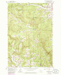
Editions of this 1961 Dixie Mountain Map
4 editions found
Other maps of this area

1915 · Hillsboro
USGS Topo · 1:62,500

1918 · Hillsboro
USGS Topo · 1:62,500

1922 · St. Helens
USGS Topo · 1:62,500

1940 · Hillsboro
USGS Topo · 1:62,500

1940 · Vernonia
USGS Topo · 1:62,500

1941 · St Helens
USGS Topo · 1:62,500

1941 · Gales Creek
USGS Topo · 1:62,500

1943 · Vernonia
USGS Topo · 1:62,500

1943 · St Helens
USGS Topo · 1:62,500

1948 · Vancouver
USGS Topo · 1:250,000