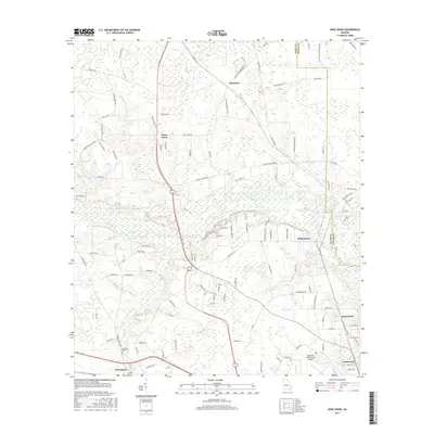
2017 Map of Dixie Union
USGS Topo · Published 2017About this map
Waresboro and the surrounding coastal plain of Ware County are defined by a network of rural settlements and the winding course of the Satilla River. This late-2010s landscape shows the contemporary configuration of the region just northwest of Waycross, where the Waycross-Ware County Airport serves as a major logistical hub. Smaller communities like Dixie Union, Waltertown, and Haywood are connected by a dense grid of family-named roads such as Miller Hayes Rd and Reppard Henderson Rd, reflecting long-standing local landownership patterns.
Find a feature on this map
109 named features on this map. Tap any name to fly to it.
Don’t see what you’re looking for? This feature index may not catch every label — zoom into the map to look around manually.
Map Details
Editions of this 2017 Dixie Union Map
This is the sole edition of this map. No revisions or reprints were ever made.
Other maps of this area

1953 · Waycross
USGS Topo · 1:250,000

1958 · Waycross
USGS Topo · 1:250,000

1967 · Waycross West
USGS Topo · 1:24,000

1967 · Pine Valley
USGS Topo · 1:24,000

1967 · Waycross East
USGS Topo · 1:24,000

1971 · Dixie Union
USGS Topo · 1:24,000

1971 · Beach
USGS Topo · 1:24,000

1971 · Talmo
USGS Topo · 1:24,000

1971 · Blackshear West
USGS Topo · 1:24,000

1971 · Mershon
USGS Topo · 1:24,000