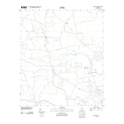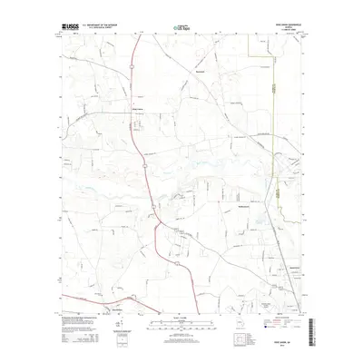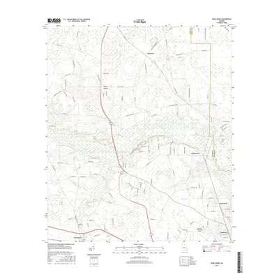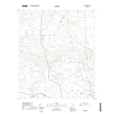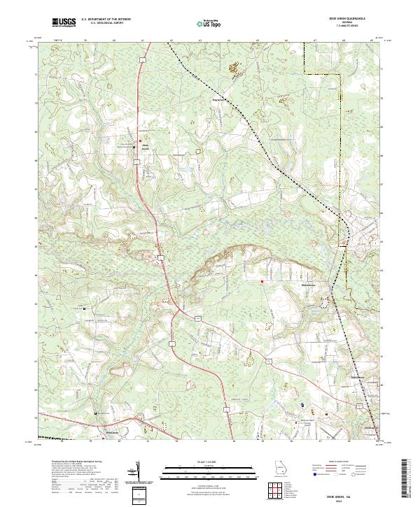
2024 Map of Dixie Union
USGS Topo · Published 2024About this map
The Satilla River meanders through this landscape, defining the rural character of northern Ware County. Small communities and unincorporated settlements like Dixie Union, Haywood, and Waltertown are connected by a network of local roads such as Jamestown Rd and Haywood Church Rd. This area reflects a traditional Georgia coastal plain settlement pattern where life centers around family homesteads and local congregations, as evidenced by the Rome Primitive Baptist Church Cem and the Haywood Church.
Find a feature on this map
126 named features on this map. Tap any name to fly to it.
Don’t see what you’re looking for? This feature index may not catch every label — zoom into the map to look around manually.
Map Details
Editions of this 2024 Dixie Union Map
This is the sole edition of this map. No revisions or reprints were ever made.
Historical Maps of Deenwood Through Time
6 maps found