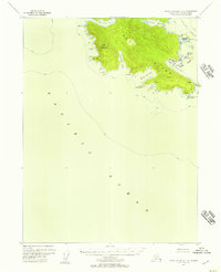
1948 Map of Dixon Entrance C-3
USGS Topo · Published 1957About this map
Dall Island dominates this maritime survey, showcasing the southern tip of the Alexander Archipelago just before the mid-century. The landscape is defined by its deep saltwater indentations and steep coastal topography, rising sharply from the Pacific Ocean to the summit of Stripe Mountain. At the far southeastern reach of the island, Cape Muzon stands as a significant geographic marker, positioned directly north of the international boundary between the U S Canada.
Find a feature on this map
27 named features on this map. Tap any name to fly to it.
Don’t see what you’re looking for? This feature index may not catch every label — zoom into the map to look around manually.
Map Details
Editions of this 1948 Dixon Entrance C-3 Map
3 editions found
Other maps of this area

1948 · Dixon Entrance D-2
USGS Topo · 1:63,360

1948 · Dixon Entrance D-4
USGS Topo · 1:63,360

1948 · Dixon Entrance D-3
USGS Topo · 1:63,360

1951 · Dixon Entrance
USGS Topo · 1:250,000

1951 · Dixon Entrance D-3
USGS Topo · 1:63,360

1951 · Dixon Entrance D-2
USGS Topo · 1:63,360
1951 · Dixon Entrance D-4
USGS Topo · 1:63,360

1959 · Dixon Entrance
USGS Topo · 1:250,000
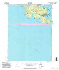
1994 · Dixon Entrance C-3
USGS Topo · 1:63,360
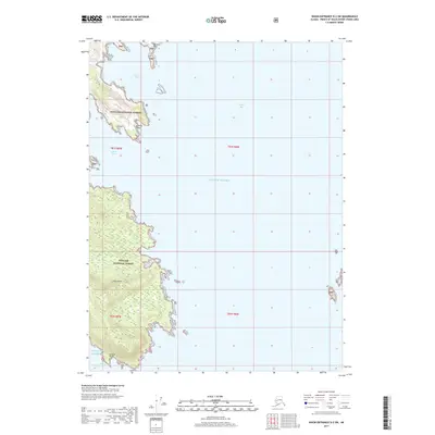
2017 · Dixon Entrance D-2 SW
USGS Topo · 1:25,000